Donabaghatta
Donabaghatta | |
|---|---|
Village | |
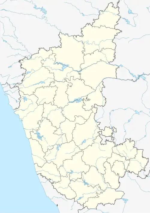 Donabaghatta Location in Karnataka, India  Donabaghatta Donabaghatta (India) | |
| Coordinates: 13°53′42″N 75°42′06″E / 13.8951300°N 75.7015500°E | |
| Country | |
| State | Karnataka |
| District | Shimoga |
| Taluk | Bhadravathi |
| Government | |
| • Body | Grama Panchayath |
| Area | |
• Total | 4.4256 km2 (1.7087 sq mi) |
| Elevation | 600 m (2,000 ft) |
| Population (2011) | |
• Total | 8,290[1] |
| Languages | |
| • Official | Kannada |
| Time zone | UTC+5:30 (IST) |
| PIN | 577229 |
| Vehicle registration | KA-14 |
Donabaghatta is a village in the southern state of Karnataka, India.[2] It is located in the Bhadravati taluk of Shimoga district in Karnataka. As per census 2011, the location code number of the village is 608620.
It is 7 km from Bhadravathi and 19 km from Shimoga city.
See also
References
- ^ "Shimoga 2011 Census Handbook" (PDF). Retrieved 7 August 2023.
- ^ "Yahoomaps India". Retrieved 18 December 2008. Donabaghatta, Shimoga, Karnataka
External links
District HQ: Shimoga | |
| Villages and towns |
|