Driffield, Gloucestershire
| Driffield | |
|---|---|
 Driffield village pond | |
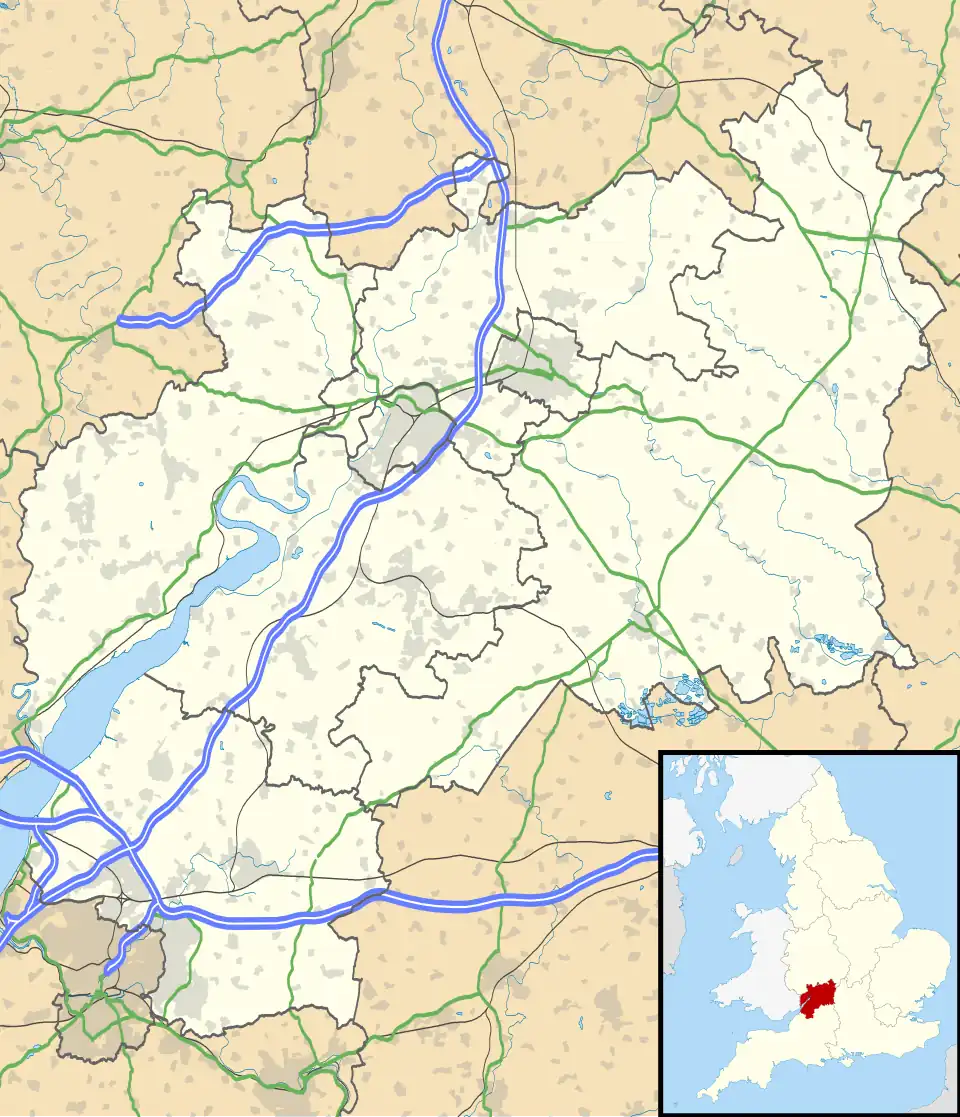 Driffield Location within Gloucestershire | |
| Area | 7.644 km2 (2.951 sq mi) |
| Population | 173 (2021 census) |
| • Density | 23/km2 (60/sq mi) |
| Civil parish |
|
| District | |
| Shire county | |
| Region | |
| Country | England |
| Sovereign state | United Kingdom |
| Post town | Cirencester |
| Postcode district | GL7 |
| Police | Gloucestershire |
| Fire | Gloucestershire |
| Ambulance | South Western |
| UK Parliament | |
Driffield is a village and civil parish in the Cotswold district of Gloucestershire, England. It is situated 3+1⁄2 miles (5.6 km) east-south-east of Cirencester.[1][2] The parish includes the village of Harnhill. In 2021 the parish had a population of 173.[3]
History
The name "Driffield" means 'Dirty open land' or possibly, 'stubbly open land'.[4] Driffield was recorded in the Domesday Book as Drifelle.[5][6] On 1 April 1935 the parish of Harnhill was abolished and merged with Driffield.[7]
References
- ^ "History of Driffield, in Cotswold and Gloucestershire | Map and description".
- ^ http://www.geonames.org/7300570/driffield.html
- ^ "Driffield". City Population De. Retrieved 24 December 2022.
- ^ "Driffield Key to English Place-names". The University of Nottingham. Retrieved 24 December 2022.
- ^ "Gloucestershire A-F". The Domesday Book Online. Retrieved 24 December 2022.
- ^ Rudge, Thomas (1803). The history of the County of Gloucester; compressed and brought down to the year 1803. Harris. p. 231.
- ^ "Relationships and changes Driffield CP/AP through time". A Vision of Britain through Time. Retrieved 24 December 2022.
External links