Dudița
| Dudița | |
|---|---|
 | |
| Location | |
| Country | Romania |
| Counties | Arad County |
| Villages | Dud |
| Physical characteristics | |
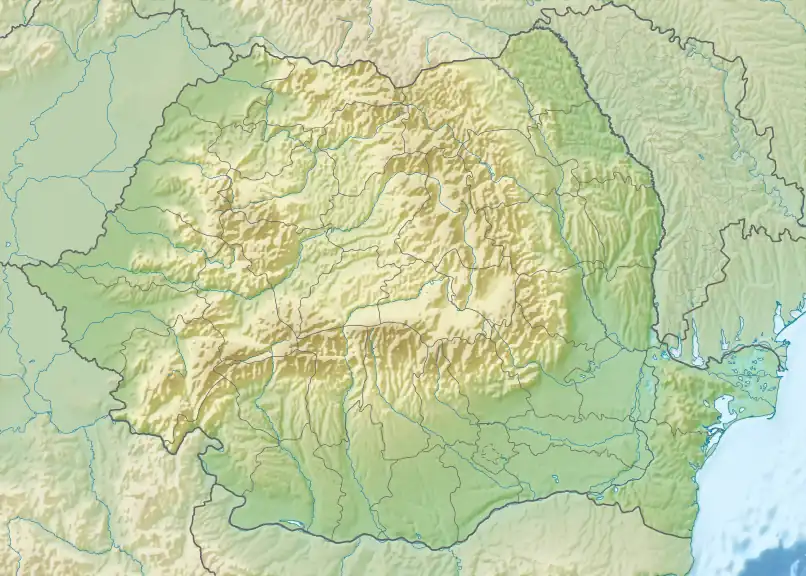
| Source | Zarand Mountains |
| Mouth | Cigher |
• coordinates | 46°21′05″N 21°49′48″E / 46.3515°N 21.8301°E |
| Length | 19 km (12 mi) |
| Basin size | 65 km2 (25 sq mi) |
| Basin features | |
| Progression | Cigher→ Crișul Alb→ Körös→ Tisza→ Danube→ Black Sea |
| Tributaries | |
| • left | Serăstrău |
The Dudița is a tributary of the river Cigher in Romania.[1][2] It flows into the Cigher near Chier. Its length is 19 km (12 mi) and its basin size is 65 km2 (25 sq mi).[2]
References
- ^ "Planul național de management. Sinteza planurilor de management la nivel de bazine/spații hidrografice, anexa 7.1" (PDF, 5.1 MB). Administrația Națională Apele Române. 2010. p. 144.
- ^ a b Atlasul cadastrului apelor din România. Partea 1 (in Romanian). Bucharest: Ministerul Mediului. 1992. p. 105. OCLC 895459847. River code: III.1.39.7