Dulce Nombre District, La Unión
Dulce Nombre | |
|---|---|
Dulce Nombre district | |
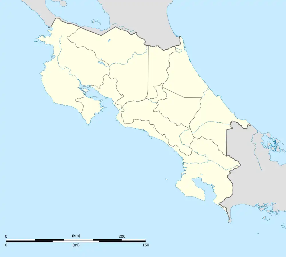 Dulce Nombre Dulce Nombre district location in Costa Rica | |
| Coordinates: 9°55′57″N 83°58′10″W / 9.9325767°N 83.9693953°W | |
| Country | |
| Province | Cartago |
| Canton | La Unión |
| Area | |
• Total | 8.35 km2 (3.22 sq mi) |
| Elevation | 1,445 m (4,741 ft) |
| Population (2011) | |
• Total | 7,893 |
| • Density | 950/km2 (2,400/sq mi) |
| Time zone | UTC−06:00 |
| Postal code | 30306 |
Dulce Nombre is a district of the La Unión canton, in the Cartago province of Costa Rica.[1][2]
Geography
Dulce Nombre has an area of 8.35 km²[3] and an elevation of 1,445 metres.[1]
Demographics
| Census | Pop. | ±% p.a. |
|---|---|---|
| 1883 | 245 | — |
| 1892 | 367 | +4.59% |
| 1927 | 483 | +0.79% |
| 1950 | 696 | +1.60% |
| 1963 | 1,312 | +5.00% |
| 1973 | 2,120 | +4.92% |
| 1984 | 3,734 | +5.28% |
| 2000 | 6,598 | +3.62% |
| 2011 | 7,893 | +1.64% |
| 2022 | 7,177 | −0.86% |
| Source: Instituto Nacional de Estadística y Censos[4] Centro Centroamericano de Población[5] | ||
For the 2011 census, Dulce Nombre had a population of 7,893 inhabitants.[6]
Transportation
Road transportation
The district is covered by the following road routes:
References
- ^ a b "Declara oficial para efectos administrativos, la aprobación de la División Territorial Administrativa de la República N°41548-MGP". Sistema Costarricense de Información Jurídica (in Spanish). 19 March 2019. Retrieved 26 September 2020.
- ^ División Territorial Administrativa de la República de Costa Rica (PDF) (in Spanish). Editorial Digital de la Imprenta Nacional. 8 March 2017. ISBN 978-9977-58-477-5.
- ^ "Área en kilómetros cuadrados, según provincia, cantón y distrito administrativo". Instituto Nacional de Estadística y Censos (in Spanish). Archived from the original on 24 October 2020. Retrieved 26 September 2020.
- ^ "Instituto Nacional de Estadística y Censos" (in Spanish).
- ^ Centro Centroamericano de Población de la Universidad de Costa Rica. "Sistema de Consulta a Bases de Datos Estadísticas" (in Spanish).
- ^ "Censo. 2011. Población total por zona y sexo, según provincia, cantón y distrito". Instituto Nacional de Estadística y Censos (in Spanish). Retrieved 26 September 2020.
| Cartago |
|
|---|---|
| Paraíso | |
| La Unión | |
| Jiménez |
|
| Turrialba | |
| Alvarado | |
| Oreamuno | |
| El Guarco | |