Durgeon
| Durgeon | |
|---|---|
 | |
  | |
| Location | |
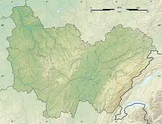
| Country | France |
| Physical characteristics | |
| Mouth | Saône |
• coordinates | 47°39′00″N 6°01′26″E / 47.6501°N 6.024°E |
| Length | 42 km (26 mi) |
| Basin features | |
| Progression | Saône→ Rhône→ Mediterranean Sea |
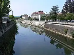
The Durgeon (French: [dyʁʒɔ̃]) is a 42.4 km river in Haute-Saône in Franche-Comté, eastern France.[1] It rises in Genevrey and flows generally west to join the Saône at Chemilly.[1] The town Vesoul is situated on its banks.
References