Durley Street
_-_geograph.org.uk_-_57205.jpg) Durley Street | |
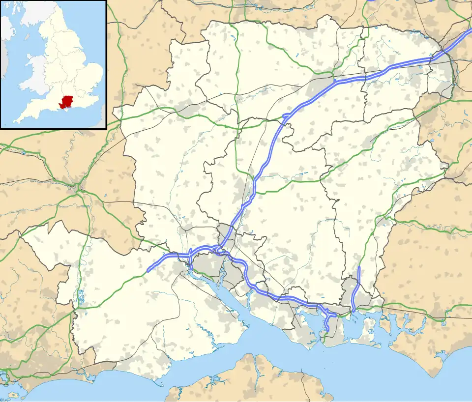
 Durley Street Location within Hampshire | |
| Civil parish |
|
|---|---|
| District | |
| Shire county | |
| Region | |
| Country | England |
| Sovereign state | United Kingdom |
| Post town | SOUTHAMPTON |
| Postcode district | SO24 |
| Dialling code | 01962 |
| Police | Hampshire and Isle of Wight |
| Fire | Hampshire and Isle of Wight |
| Ambulance | South Central |
| UK Parliament | |
Durley Street is a village in the City of Winchester district of Hampshire, England. It is located approximately 7 miles (11 km) northeast of Southampton.
Governance
The village is part of the civil parish of Durley[1] and is part of the Owslebury and Curdridge ward of the City of Winchester non-metropolitan district of Hampshire County Council.[2]
References
- ^ legal record of public rights of way in Hampshire - sheet 1310 (PDF) (Map). 1 : 10,000. Cartography by Ordnance Survey. Hampshire County Council. 2008. Retrieved 6 November 2010.
- ^ "Containing areas from mapit.mysociety.org". 2010. Retrieved 6 November 2010.
