Earlston, Pennsylvania
Earlston, Pennsylvania | |
|---|---|
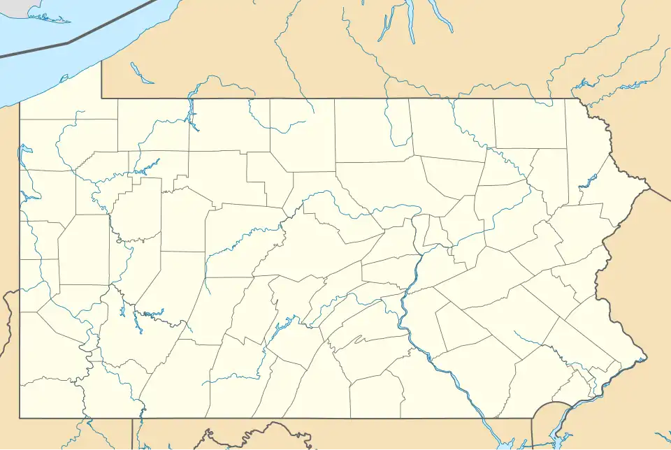 Earlston Location within the state of Pennsylvania  Earlston Earlston (the United States) | |
| Coordinates: 40°00′06″N 78°22′42″W / 40.00167°N 78.37833°W | |
| Country | United States |
| State | Pennsylvania |
| County | Bedford |
| Township | West Providence |
| Area | |
• Total | 1.08 sq mi (2.80 km2) |
| • Land | 1.08 sq mi (2.80 km2) |
| • Water | 0.00 sq mi (0.00 km2) |
| Elevation | 1,175 ft (358 m) |
| Population | |
• Total | 1,049 |
| • Density | 971.30/sq mi (375.00/km2) |
| Time zone | UTC-5 (Eastern (EST)) |
| • Summer (DST) | UTC-4 (EDT) |
| ZIP code | 15537[4] |
| Area code | 814 |
| FIPS code | 42-20704 |
| GNIS feature ID | 2633663[2] |
Earlston is a census-designated place[5] in West Providence Township, Bedford County, Pennsylvania, in the United States. The population was 1,049 as of the 2020 census.[6][7] It is located just across the Raystown Branch of the Juniata River from the borough of Everett.
Demographics
| Census | Pop. | Note | %± |
|---|---|---|---|
| 2020 | 1,049 | — | |
| U.S. Decennial Census[8] | |||
References
- ^ "ArcGIS REST Services Directory". United States Census Bureau. Retrieved October 12, 2022.
- ^ a b U.S. Geological Survey Geographic Names Information System: Earlston, Pennsylvania
- ^ "Census Population API". United States Census Bureau. Retrieved October 12, 2022.
- ^ "Earlston PA ZIP Code". zipdatamaps.com. 2023. Retrieved June 27, 2023.
- ^ "2010 U.S. Census website". United States Census Bureau. Retrieved February 10, 2013.
- ^ "Explore Census Data". data.census.gov.
- ^ "Geographic Identifiers: 2010 Demographic Profile Data (G001): Earlston CDP, Pennsylvania". U.S. Census Bureau, American Factfinder. Archived from the original on February 12, 2020. Retrieved March 6, 2014.
- ^ "Census of Population and Housing". Census.gov. Retrieved June 4, 2016.
Municipalities and communities of Bedford County, Pennsylvania, United States | ||
|---|---|---|
| Boroughs | 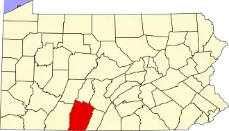 | |
| Townships | ||
| CDPs | ||
| Unincorporated communities | ||
| Footnotes | ‡This populated place also has portions in an adjacent county or counties | |