Echo Hills, Colorado
Echo Hills, Colorado | |
|---|---|
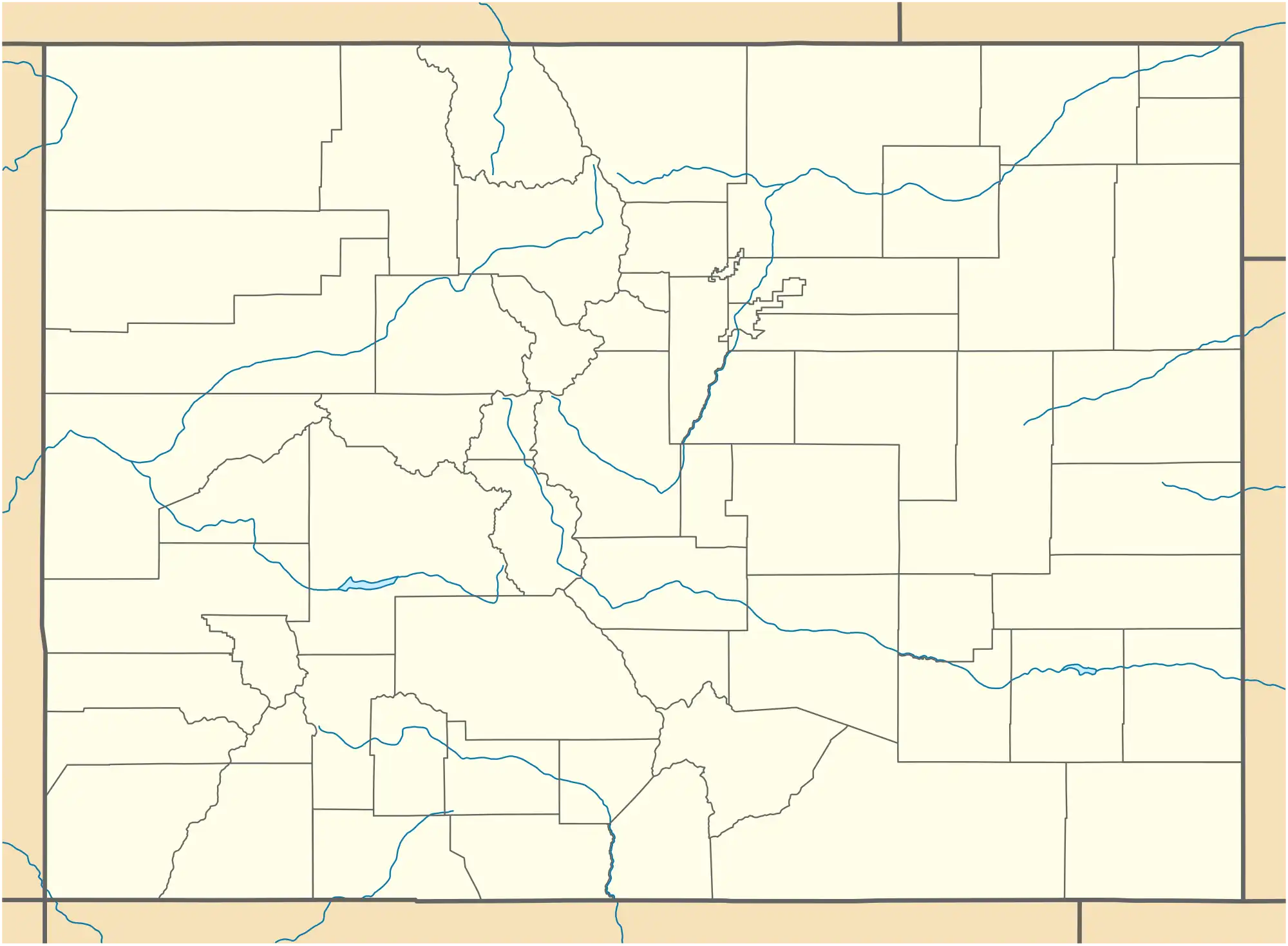 Echo Hills Location of the Echo Hills CDP in the State of Colorado. | |
| Coordinates: 39°40′30″N 105°24′48″W / 39.67500°N 105.41333°W[1] | |
| Country | |
| State | |
| County | Clear Creek County |
| Government | |
| • Type | unincorporated community |
| Area | |
• Total | 1.472 km2 (0.568 sq mi) |
| • Land | 1.472 km2 (0.568 sq mi) |
| • Water | 0.000 km2 (0.000 sq mi) |
| Elevation | 2,757 m (9,046 ft) |
| Population | |
• Total | 313 |
| Time zone | UTC-7 (MST) |
| • Summer (DST) | UTC-6 (MDT) |
| ZIP Code[4] | Evergreen 80439 |
| Area codes | 303 & 720 |
| GNIS feature ID | 2804449[1] |
Echo Hills is an unincorporated community and a census-designated place (CDP) located in and governed by Clear Creek County, Colorado, United States. The population was 313 at the 2020 census.[3] The CDP is a part of the Denver–Aurora–Lakewood, CO Metropolitan Statistical Area. The Evergreen post office (Zip Code 80439) serves the area.[4]
Geography
The Echo Hills CDP has an area of 364 acres (1.472 km2), all land.[2]
Demographics
The United States Census Bureau defined the Echo Hills CDP for the United States Census 2020.
| Year | Pop. | ±% |
|---|---|---|
| 2020 | 313 | — |
| Source: United States Census Bureau | ||
See also
- Denver-Aurora-Boulder, CO Combined Statistical Area
- Denver-Aurora-Broomfield, CO Metropolitan Statistical Area
References
- ^ a b c d U.S. Geological Survey Geographic Names Information System: Echo Hills, Colorado
- ^ a b "State of Colorado Census Designated Places - BAS20 - Data as of January 1, 2020". United States Census Bureau. Retrieved December 21, 2020.
- ^ a b United States Census Bureau. "Echo Hills CDP, Colorado". Retrieved April 9, 2023.
- ^ a b "Zip Code 80439 Map and Profile". zipdatamaps.com. 2020. Retrieved December 21, 2020.
External links
Municipalities and communities of Clear Creek County, Colorado, United States | ||
|---|---|---|
| Cities | ||
| Towns | ||
| CDPs | ||
| Unincorporated communities | ||
| Ghost towns |
| |
| Footnotes | ‡This populated place also has portions in an adjacent county or counties | |