Ed-Air Airport
Ed-Air Airport | |||||||||||
|---|---|---|---|---|---|---|---|---|---|---|---|
| Summary | |||||||||||
| Airport type | Private use | ||||||||||
| Owner | Edward A. Huddleston | ||||||||||
| Serves | Oaktown, Indiana | ||||||||||
| Elevation AMSL | 426 ft / 130 m | ||||||||||
| Coordinates | 38°51′05″N 087°29′59″W / 38.85139°N 87.49972°W | ||||||||||
| Map | |||||||||||
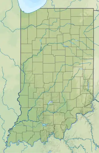 2IG4 Location of airport in Indiana | |||||||||||
| Runways | |||||||||||
| |||||||||||
| Statistics | |||||||||||
| |||||||||||
Ed-Air Airport (IATA: OTN[2], FAA LID: 2IG4, formerly OTN) is a private use airport in Knox County, Indiana, United States.[1] It is located three nautical miles (6 km) southwest of the central business district of Oaktown, Indiana,[1] and was previously a public use airport.[3]
History
The airfield was built between 1943 and 1944. It was known as Emison Field or George Field Auxiliary, operated as a satellite of George Army Airfield. It was closed by the military after World War II. It later operated as a civil airfield known as Emison Airport or Green Airport.[4]
Facilities and aircraft
Ed-Air Airport resides at elevation of 426 feet (130 m) above mean sea level. It has one runway designated 18/36 with an asphalt surface measuring 5,800 by 100 feet (1,768 x 30 m).[1]
There are four aircraft based at this airport: one single-engine, two multi-engine, and one helicopter.[1]
See also
References
- ^ a b c d e FAA Airport Form 5010 for 2IG4 PDF. Federal Aviation Administration. Effective November 15, 2012.
- ^ "IATA Airport Code Search (OTN – City: Oaktown, Airport: Green)". International Air Transport Association. Retrieved August 8, 2013.
- ^ "KOTN – Ed-Air Airport". Federal Aviation Administration, via AirNav.com. December 27, 2001. Archived from the original on January 19, 2002.
- ^ "Emison Auxiliary Army Airfield #2 (OTN) / Emison Airport /Green Airport / Ed-Air Airport, Oaktown, IN". Abandoned & Little-Known Airfields. February 25, 2012. Retrieved August 8, 2013.
External links
- Ed-Air, Inc.
- Aerial image as of February 1998 from USGS The National Map
- Resources for this airport:
- FAA airport information for 2IG4
- AirNav airport information for 2IG4
- ASN accident history for OTN
- FlightAware airport information and live flight tracker
- SkyVector aeronautical chart for 2IG4