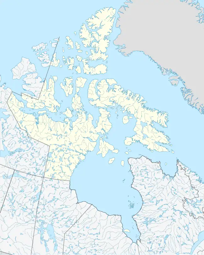
Edinburgh Island
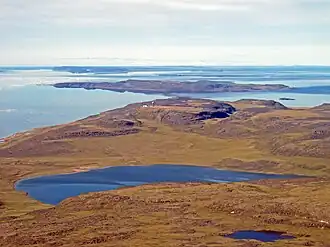 Looking south on Edinburgh Island | |
 Edinburgh Island 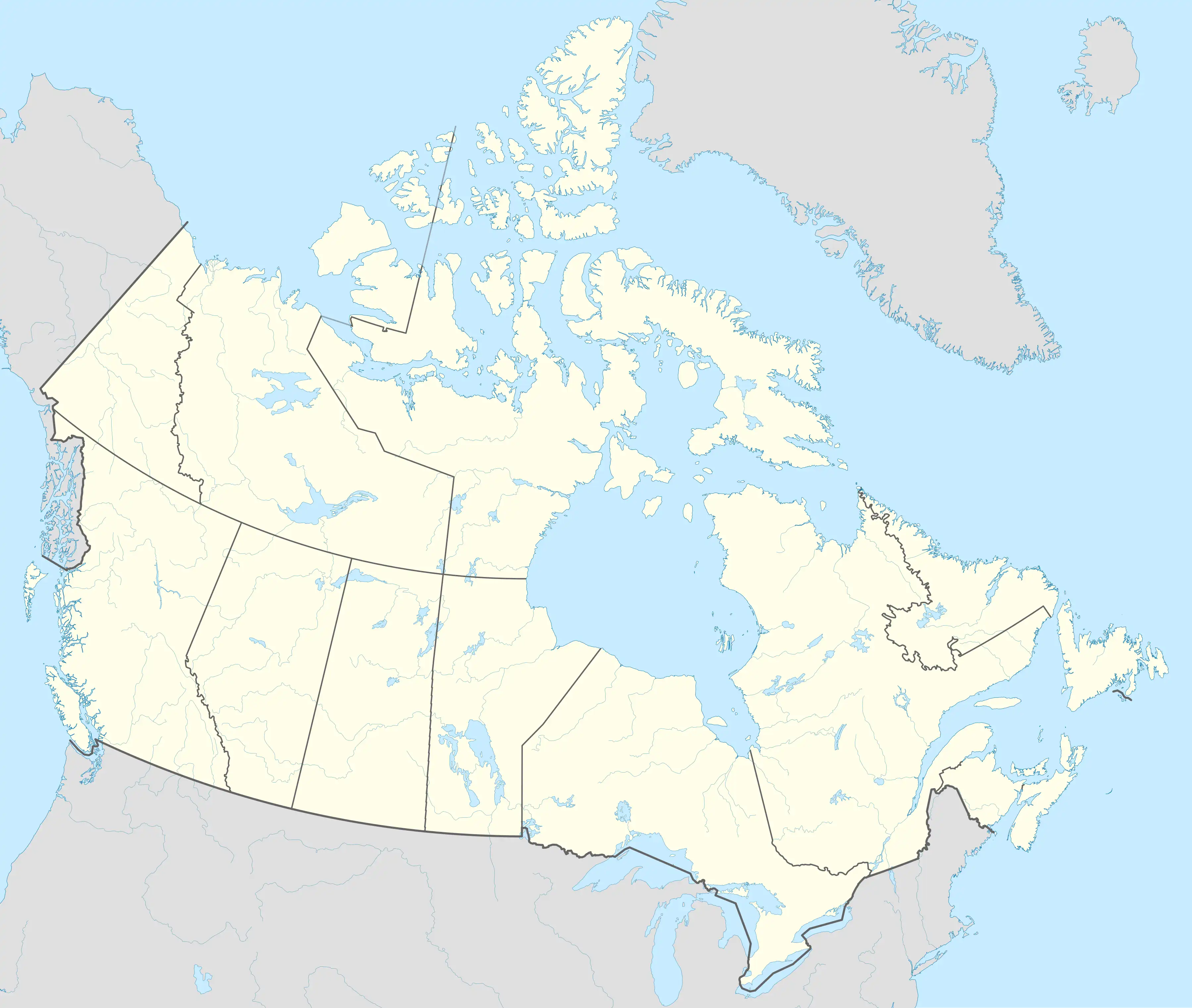 Edinburgh Island | |
| Geography | |
|---|---|
| Location | Coronation Gulf |
| Coordinates | 68°31′N 110°51′W / 68.517°N 110.850°W[1] |
| Archipelago | Arctic Archipelago |
| Administration | |
Canada | |
| Territory | Nunavut |
| Region | Kitikmeot |
| Demographics | |
| Population | Uninhabited |
Edinburgh Island is an island located within Coronation Gulf, south of Victoria Island, in the Kitikmeot Region, Nunavut, Canada. It is approximately 103 m (338 ft) above sea level.[2]
Other islands in the vicinity include Doak Island, Bate Islands, Outpost Islands, Richardson Islands, Sesqui Islands, and Sisters Islands.[3]
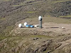
Edinburgh Island, PIN-DA,[4] is a former Distant Early Warning Line and a current North Warning System site.
References
- ^ "Edinburgh Island". Geographical Names Data Base. Natural Resources Canada.
- ^ "Edinburgh Island ca. 103 m". geonames.org. Retrieved 2009-03-17.
- ^ "Edinburgh Island". travelingluck.com. Retrieved 2009-03-17.
- ^ "Projects and Communities in the Database". ceaa.gc.ca. Archived from the original on 2011-07-06. Retrieved 2009-03-17.