Elliotdale
Elliotdale
Bomvana Xhora | |
|---|---|
 Elliotdale  Elliotdale | |
| Coordinates: 31°58′00″S 28°41′00″E / 31.966667°S 28.683333°E | |
| Country | South Africa |
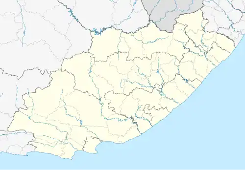
| Province | Eastern Cape |
| District | Amathole |
| Municipality | Mbhashe |
| Area | |
• Total | 7.15 km2 (2.76 sq mi) |
| Population (2011)[1] | |
• Total | 2,267 |
| • Density | 320/km2 (820/sq mi) |
| Racial makeup (2011) | |
| • Black African | 93.8% |
| • Coloured | 1.3% |
| • Indian/Asian | 0.8% |
| • White | 0.7% |
| • Other | 3.4% |
| First languages (2011) | |
| • Xhosa | 93.5% |
| • English | 2.0% |
| • Other | 4.6% |
| Time zone | UTC+2 (SAST) |
| Postal code (street) | 5070 |
| PO box | 5070 |
| Area code | 047 |
Elliotdale (Xhosa: Xhora) is a town in Amatole District Municipality in the Eastern Cape province of South Africa.
The town lies 50 km south of Mthatha and 22 km south-east of Mqanduli. It is named after Sir Henry Elliot, Chief Magistrate of the Transkei from 1891 to 1902.[2]
References
- ^ a b c d "Main Place Elliotdale". Census 2011.
- ^ "Dictionary of Southern African Place Names (Public Domain)". Human Science Research Council. p. 153.
Municipalities and communities of Amathole District Municipality, Eastern Cape | ||
|---|---|---|
District seat: East London | ||
| Amahlathi | .svg.png) | |
| Great Kei |
| |
| Mbhashe |
| |
| Mnquma |
| |
| Ngqushwa | ||
| Raymond Mhlaba |
| |