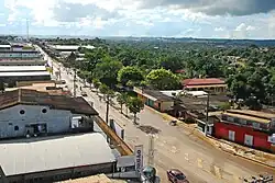
Epitaciolândia
Epitaciolândia | |
|---|---|
 | |
 Flag  Coat of arms | |
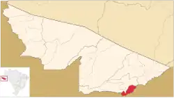 Location of municipality in Acre State | |
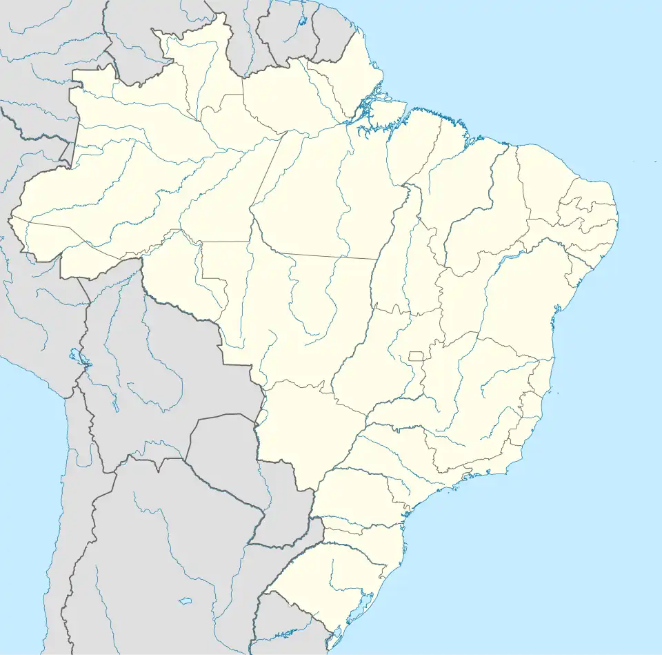 Epitaciolândia Location in Brazil | |
| Coordinates: 11°01′44″S 68°44′27″W / 11.02889°S 68.74083°W | |
| Country | |
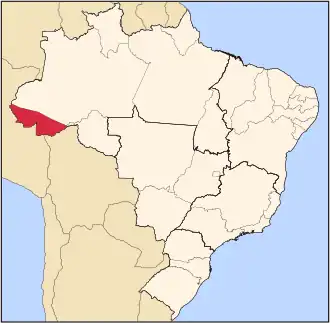
| State | Acre |
| Government | |
| • Mayor | Tião Flores (PSB) |
| Area | |
• Total | 1,659 km2 (641 sq mi) |
| Population (2022) | |
• Total | 18,757 |
| Time zone | UTC−5 (ACT) |
Epitaciolândia (Portuguese pronunciation: [epitasjuˈlɐ̃dʒi.ɐ]) is a municipality located in the southeast of state of Acre. Its population is 18,757 inhabitants and its area is 1,659 km². It is the southernmost municipality in Acre.
The municipality contains part of the 931,537 hectares (2,301,880 acres) Chico Mendes Extractive Reserve, a sustainable use environmental unit created in 1990.[1]
Consular representation
Bolivia has a Consulate in Epitaciolândia.[2]
References
- ^ Unidade de Conservação: Reserva Extrativista Chico Mendes (in Portuguese), MMA: Ministério do Meio Ambiente, retrieved 2016-06-04
{{citation}}: CS1 maint: publisher location (link) - ^ "Representación de Bolivia en el exterior". Ministerio de Relaciones Exteriores (in Spanish). Retrieved 12 October 2024.