Escuinapa de Hidalgo
Escuinapa de Hidalgo | |
|---|---|
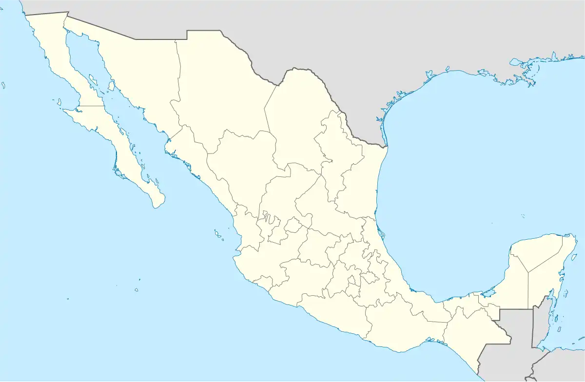
 Templo de San Francisco de Asís | |
 Seal | |
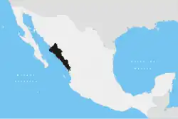
 Escuinapa de Hidalgo Location in Mexico | |
| Coordinates: 22°50′06″N 105°46′41″W / 22.835°N 105.778°W | |
| Country | |
| State | Sinaloa |
| Municipality | Escuinapa |
| Government | |
| • Mayor | Blanca Estela Garcia |
| Elevation | 10 m (30 ft) |
| Population (2010) | |
• Total | 30,790 |
| [1] | |
| Time zone | UTC-7 (Mountain Standard Time) |
| Website | Escuinapa Government page |
Escuinapa de Hidalgo is a city in Escuinapa Municipality of the same name, located at the extreme southern end of the Mexican state of Sinaloa. At the census of 2005 the city had a population of 28,789 inhabitants (the sixth-largest community in the state), while the municipality reported 49,655 inhabitants. The municipality has an area of 1633.22 km² (630.58 sq mi) and includes the towns of Isla del Bosque and Teacapan, in addition to many smaller localities.
Sister City
References
- ^ "Principales resultados por localidad 2010 (ITER)". Instituto Nacional de Estadística y Geografía. 2010.
- ^ "Sister Cities - City of Montebello". www.montebelloca.gov.
- Link to tables of population data from Census of 2005 INEGI: Instituto Nacional de Estadística, Geografía e Informática
- Sinaloa Enciclopedia de los Municipios de México
External links
![]() Media related to Escuinapa de Hidalgo at Wikimedia Commons
Media related to Escuinapa de Hidalgo at Wikimedia Commons
- Ayuntamiento de Escuinapa Official website
Culiacán (capital) | ||
| Municipalities and (municipal seats) |
|  |