Espa
Espa
Østjordet | |
|---|---|
Village | |
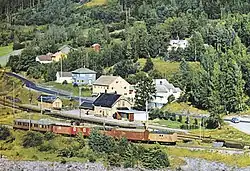 View of the village | |
 Espa 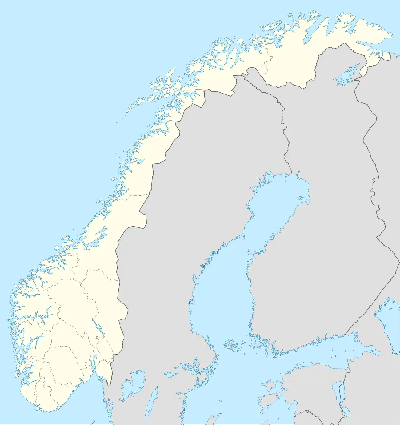 Espa | |
| Coordinates: 60°34′46″N 11°16′15″E / 60.57958°N 11.2708°E | |
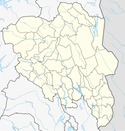
| Country | Norway |
| Region | Eastern Norway |
| County | Innlandet |
| District | Hedmarken |
| Municipality | Stange Municipality |
| Elevation | 153 m (502 ft) |
| Time zone | UTC+01:00 (CET) |
| • Summer (DST) | UTC+02:00 (CEST) |
| Post Code | 2338 Espa |
Espa[2] is a village in Stange Municipality in Innlandet county, Norway. The village is located along the European route E6 highway near the southern part of the large lake Mjøsa, about 5 kilometres (3.1 mi) southeast of the village of Tangen. Its population (SSB 2005) was 191. The Dovrebanen railway line passes through the village. There was a train station in the village, but it was closed in 1983.[3]
References
- ^ "Espa, Stange". yr.no. Retrieved 25 March 2022.
- ^ "Informasjon om stadnamn". Norgeskart (in Norwegian). Kartverket. Retrieved 2 July 2025.
- ^ Thorsnæs, Geir; Mæhlum, Lars, eds. (24 February 2025). "Espa". Store norske leksikon (in Norwegian). Foreningen Store norske leksikon. Retrieved 2 July 2025.