Ettersgill
| Ettersgill | |
|---|---|
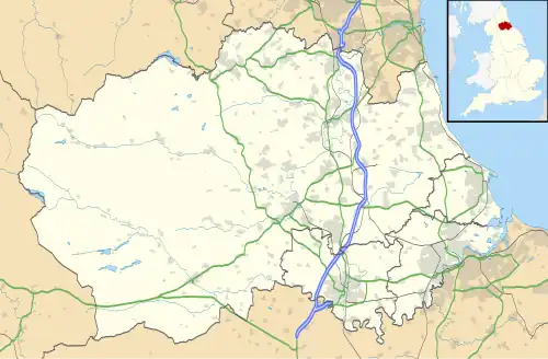 Ettersgill Location within County Durham | |
| OS grid reference | NY883299 |
| Unitary authority | |
| Ceremonial county | |
| Region | |
| Country | England |
| Sovereign state | United Kingdom |
| Post town | DARLINGTON |
| Postcode district | DL12 |
| Police | Durham |
| Fire | County Durham and Darlington |
| Ambulance | North East |
Ettersgill is a village in County Durham, England.[1][2] It is situated at the top of Teesdale, on the north side of the Tees between Newbiggin and Forest-in-Teesdale, and is in the civil parish of Forest and Frith.[3] The village consists of scattered farms and farmhouses,[4] centered on the fertile valley created by Etters Gill Beck, which flows from the moorland into the Tees south of High Force.[4]
References
- ^ Ordnance Survey: Landranger map sheet 91 Appleby-in-Westmorland (Brough & Kirkby Stephen) (Map). Ordnance Survey. 2014. ISBN 9780319231302.
- ^ "Ordnance Survey: 1:50,000 Scale Gazetteer" (csv (download)). www.ordnancesurvey.co.uk. Ordnance Survey. 1 January 2016. Retrieved 18 February 2016.
- ^ "Forest and Frith Civil Parish". co-curate.ncl.ac.uk. Co-Curate. Retrieved 30 March 2023.
- ^ a b "A Teesdale walk to High Force, Low Force and Bleabeck Force". Walking Englishman. Retrieved 27 March 2022.
External links
Wikimedia Commons has media related to Ettersgill.