Fairfield Plantation, Georgia
Fairfield Plantation, Georgia | |
|---|---|
 Fairfield Plantation  Fairfield Plantation | |
| Coordinates: 33°38′37″N 84°55′33″W / 33.64361°N 84.92583°W | |
| Country | |
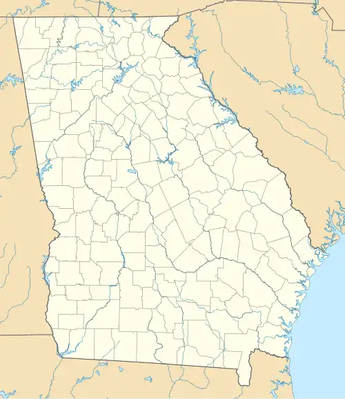
| State | Georgia |
| County | Carroll |
| Area | |
• Total | 4.51 sq mi (11.69 km2) |
| • Land | 4.11 sq mi (10.65 km2) |
| • Water | 0.40 sq mi (1.03 km2) |
| Elevation | 1,140 ft (350 m) |
| Population (2020) | |
• Total | 4,898 |
| • Density | 1,190.57/sq mi (459.73/km2) |
| Time zone | UTC-5 (Eastern (EST)) |
| • Summer (DST) | UTC-4 (EDT) |
| ZIP Code | 30180 (Villa Rica) |
| Area codes | 770/678/470 |
| FIPS code | 13-28440 |
| GNIS feature ID | 2812672[2] |
Fairfield Plantation is an unincorporated community and census-designated place in eastern Carroll County, Georgia, United States. It is a community situated around a golf course and reservoir (Treasure Lake), 8 miles (13 km) south of Villa Rica and 38 miles (61 km) west of Atlanta. Fairfield Plantation was created as a Planned Unit Development in the 1970s. The population as of the 2020 census is 4,898.[3]
Demographics
| Census | Pop. | Note | %± |
|---|---|---|---|
| 2020 | 4,898 | — | |
| U.S. Decennial Census[4] 2020[5] | |||
| Race / Ethnicity (NH = Non-Hispanic) | Pop 2020[5] | % 2020 |
|---|---|---|
| White alone (NH) | 3,795 | 77.48% |
| Black or African American alone (NH) | 563 | 11.49% |
| Native American or Alaska Native alone (NH) | 14 | 0.29% |
| Asian alone (NH) | 41 | 0.84% |
| Pacific Islander alone (NH) | 2 | 0.04% |
| Some Other Race alone (NH) | 26 | 0.53% |
| Mixed Race or Multi-Racial (NH) | 221 | 4.51% |
| Hispanic or Latino (any race) | 236 | 4.82% |
| Total | 4,898 | 100.00% |
Fairfield Plantation was first listed as a census designated place in the 2020 U.S. census.[5]
References
- ^ "2020 U.S. Gazetteer Files". United States Census Bureau. Archived from the original on March 18, 2021. Retrieved December 18, 2021.
- ^ a b "Fairfield Plantation Census Designated Place". Geographic Names Information System. United States Geological Survey, United States Department of the Interior.
- ^ "Fairfield Plantation CDP, Georgia". United States Census Bureau. Archived from the original on April 13, 2022. Retrieved March 13, 2022.
- ^ "Decennial Census of Population and Housing by Decades". US Census Bureau. Archived from the original on July 6, 2022.
- ^ a b c "P2 Hispanic or Latino, and Not Hispanic or Latino by Race – 2020: DEC Redistricting Data (PL 94-171) – Fairfield Plantation CDP, Georgia". United States Census Bureau. Archived from the original on April 13, 2022. Retrieved April 13, 2022.
Municipalities and communities of Carroll County, Georgia, United States | ||
|---|---|---|
| Cities |  | |
| Towns | ||
| CDP | ||
| Other unincorporated communities | ||
| Ghost town | ||
| Footnotes | ‡This populated place also has portions in an adjacent county or counties | |