Farleigh, Western Cape
Farleigh | |
|---|---|
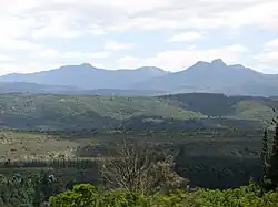 The Outeniqua Mountains, on which the settlement lies. | |
 Farleigh  Farleigh | |
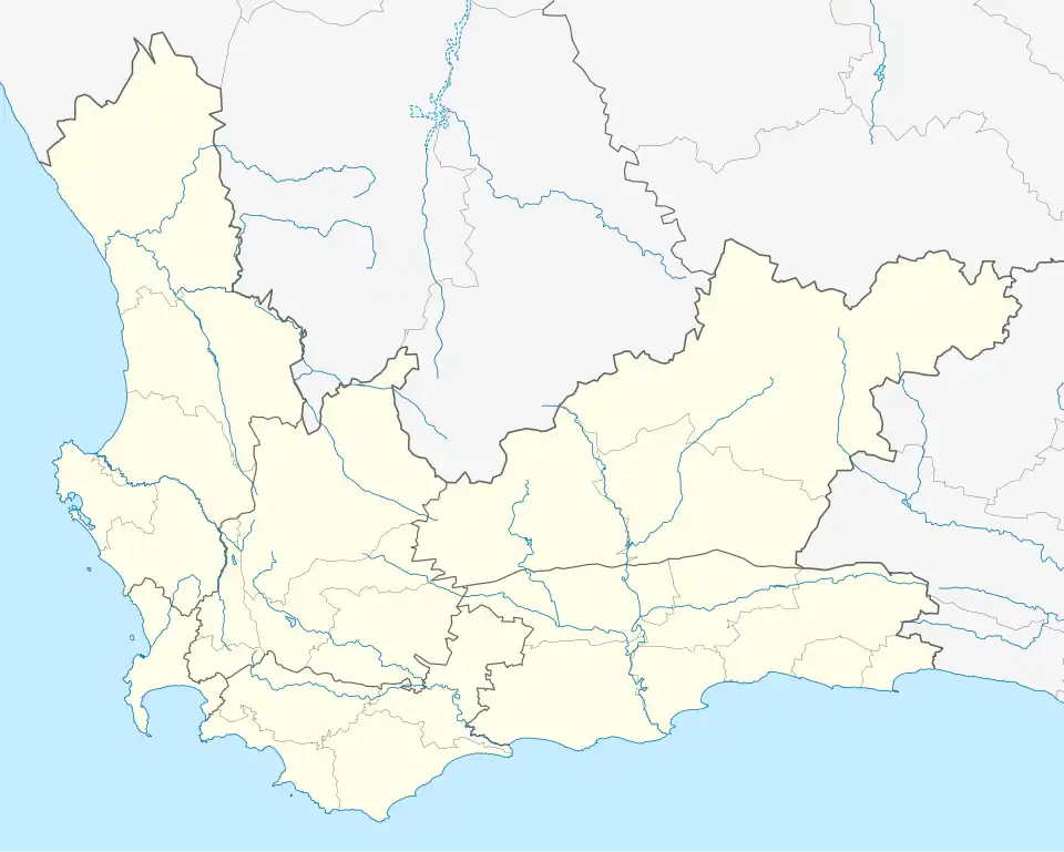
| Coordinates: 33°54′03″S 22°51′49″E / 33.90083°S 22.86361°E | |
| Country | South Africa |
| Province | Western Cape |
| District | Garden Route |
| Municipality | Knysna |
| Population (2011) | |
• Total | 1,057 |
| Racial Makeup (2011) | |
| • Coloured | 70.9% |
| • White | 19.1% |
| • Black African | 8.5% |
| • Others | 1.5% |
| First Languages (2011) | |
| • Afrikaans | 77.5% |
| • English | 15.7% |
| • Xhosa | 5.1% |
| • Others | 1.7% |
Farleigh is a small town in the Western Cape province of South Africa. The settlement is also a forestry station. Farleigh is 3 km northeast of Karatara and 8 km northwest of Rheenendal, with the closest major town being Knysna. The town is about 511 metres above sea level.[1]
In the 2011 South African census, the local population was counted as 1,057 people living in 249 households.[2]
References
- ^ "Farleigh". Geoview.info. Retrieved 2024-05-25.
- ^ Firth, Adrian (2011). "Small Area 0111". Retrieved 2024-05-25.
Municipalities and communities of Garden Route District Municipality, Western Cape | ||
|---|---|---|
District seat: George | ||
| Bitou | .svg.png) | |
| George | ||
| Hessequa | ||
| Kannaland | ||
| Knysna | ||
| Mossel Bay | ||
| Oudtshoorn | ||