Fedje (village)
Fedje | |
|---|---|
Village | |
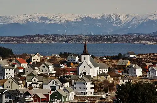 View of the village | |
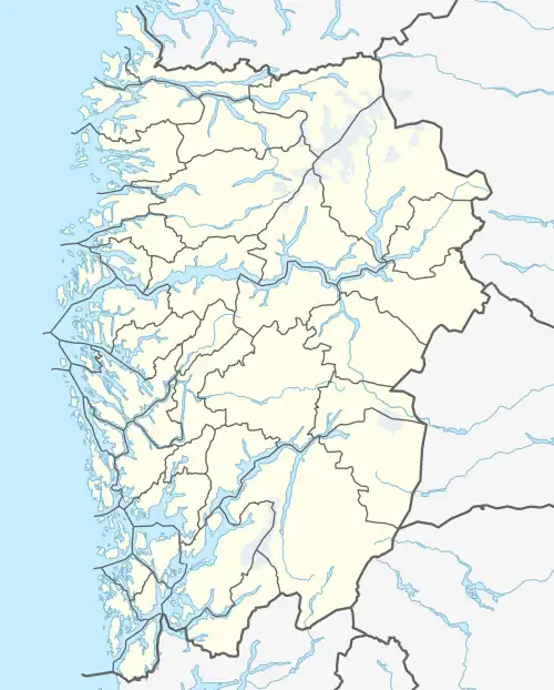 Fedje Location of the village  Fedje Fedje (Norway) | |
| Coordinates: 60°46′44″N 04°42′53″E / 60.77889°N 4.71472°E | |
| Country | Norway |
| Region | Western Norway |
| County | Vestland |
| District | Nordhordland |
| Municipality | Fedje |
| Area | |
• Total | 0.63 km2 (0.24 sq mi) |
| Elevation | 14 m (46 ft) |
| Population (2019)[1] | |
• Total | 440 |
| • Density | 698/km2 (1,810/sq mi) |
| Time zone | UTC+01:00 (CET) |
| • Summer (DST) | UTC+02:00 (CEST) |
| Post Code | 5947 Fedje |
Fedje is the administrative centre of Fedje municipality in Vestland county, Norway. The village is located on the northern shores of the island of Fedje.[3] The fishing village is an old trading center, which grew up around Kræmmerholmen, a small island in the Fedje harbor. Fedje Church is located in the village, serving the people of the whole municipality.
The 0.63-square-kilometre (160-acre) village has a population (2019) of 440 and a population density of 698 inhabitants per square kilometre (1,810/sq mi).[1]
References
- ^ a b c Statistisk sentralbyrå (1 January 2019). "Urban settlements. Population and area, by municipality".
- ^ "Fedje, Fedje" (in Norwegian). yr.no. Retrieved 7 April 2014.
- ^ Store norske leksikon. "Fedje – tettstedet" (in Norwegian). Archived from the original on 8 April 2014. Retrieved 7 April 2014.