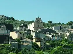
Ferla
Ferla | |
|---|---|
| Comune di Ferla | |
 Ferla | |
Location of Ferla | |
 Ferla Location of Ferla in Italy 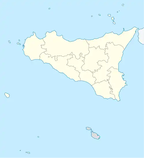 Ferla Ferla (Sicily) | |
| Coordinates: 37°7′N 14°57′E / 37.117°N 14.950°E | |
| Country | Italy |
| Region | Sicily |
| Province | Syracuse (SR) |
| Government | |
| • Mayor | Michelangelo Giansiracusa (Action) |
| Area | |
• Total | 24.9 km2 (9.6 sq mi) |
| Elevation | 556 m (1,824 ft) |
| Population (30 November 2017)[2] | |
• Total | 2,450 |
| • Density | 98/km2 (250/sq mi) |
| Demonym | Ferlesi |
| Time zone | UTC+1 (CET) |
| • Summer (DST) | UTC+2 (CEST) |
| Postal code | 96010 |
| Dialing code | 0931 |
| Patron saint | Saint Sebastian |
| Saint day | 20 July |
| Website | Official website |
Ferla (Sicilian: A Ferra) is a town and comune in the Province of Syracuse, Sicily (southern Italy). It is one of I Borghi più belli d'Italia ("The most beautiful villages of Italy").[3]
The Necropolis of Pantalica, part of the UNESCO World Heritage Site of "Syracuse and the Rocky Necropolis of Pantalica" is situated between Ferla and Sortino.
References