Fern Prairie, Washington
Fern Prairie, Washington | |
|---|---|
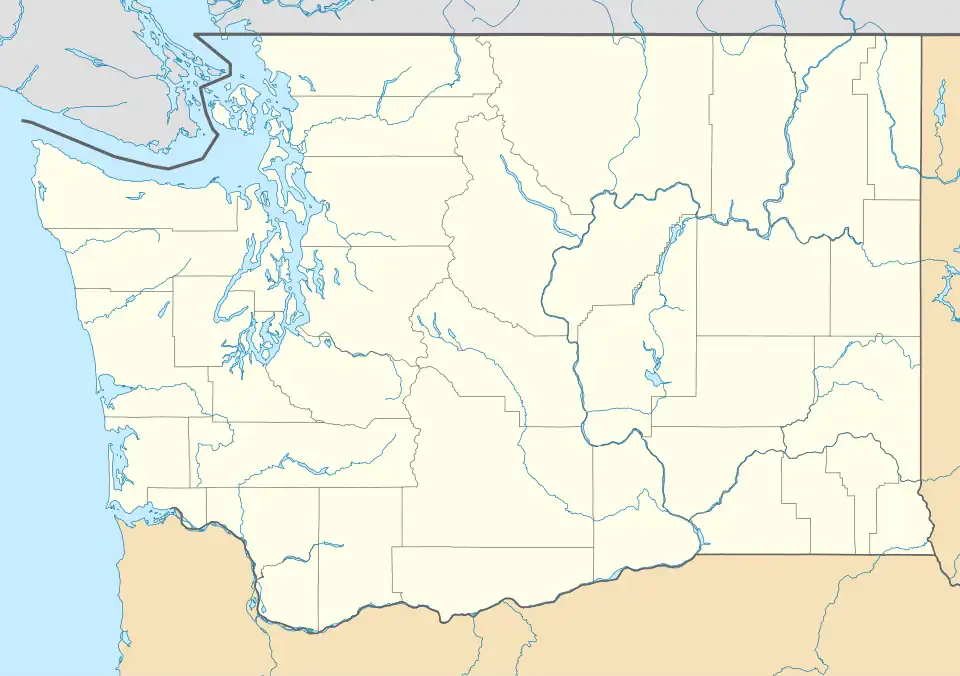 Fern Prairie Location of Fern Prairie, Washington | |
| Coordinates: 45°37′50″N 122°23′12″W / 45.63056°N 122.38667°W | |
| Country | United States |
| State | Washington |
| County | Clark |
| Area | |
• Total | 5.0 sq mi (13.0 km2) |
| • Land | 5.0 sq mi (13.0 km2) |
| • Water | 0.0 sq mi (0.0 km2) |
| Elevation | 482 ft (147 m) |
| Population (2010) | |
• Total | 1,884 |
| • Density | 376/sq mi (145.0/km2) |
| Time zone | UTC-8 (Pacific (PST)) |
| • Summer (DST) | UTC-7 (PDT) |
| FIPS code | 53-23690 |
| GNIS feature ID | 2584971[1] |
Fern Prairie is a census-designated place (CDP) in Clark County, Washington, United States. The population was 1,884 at the 2010 census.[2]
The community is located in southern Clark County, 16 miles (26 km) east of downtown Vancouver and 4 miles (6 km) north of Camas.
Education
Most of Fern Prairie is in the Camas School District. Some parts are in the Washougal School District.[3]
References
- ^ a b U.S. Geological Survey Geographic Names Information System: Fern Prairie, Washington
- ^ "Geographic Identifiers: 2010 Demographic Profile Data (G001): Fern Prairie CDP, Washington". U.S. Census Bureau, American Factfinder. Retrieved August 31, 2015.
- ^ Geography Division (December 21, 2020). 2020 Census – School District Reference Map: Clark County, WA (PDF) (Map). United States Census Bureau. Archived (PDF) from the original on June 2, 2021. Retrieved March 23, 2025. - Text list
Municipalities and communities of Clark County, Washington, United States | ||
|---|---|---|
| Cities |  | |
| Town | ||
| CDPs | ||
| Unincorporated communities | ||
| Footnotes | ‡This populated place also has portions in an adjacent county or counties | |