Figanières
Figanières
Figanieras (Occitan) | |
|---|---|
.jpg) Hilltop village and church of Figanières | |
 Coat of arms | |
Location of Figanières | |
 Figanières 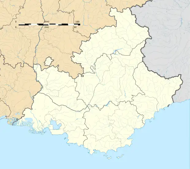 Figanières | |
| Coordinates: 43°34′11″N 6°29′52″E / 43.5697°N 6.4978°E | |
| Country | France |
| Region | Provence-Alpes-Côte d'Azur |
| Department | Var |
| Arrondissement | Draguignan |
| Canton | Flayosc |
| Intercommunality | CA Dracénie Provence Verdon |
| Government | |
| • Mayor (2020–2026) | Bernard Chilini[1] |
Area 1 | 28.17 km2 (10.88 sq mi) |
| Population (2022)[2] | 2,683 |
| • Density | 95/km2 (250/sq mi) |
| Time zone | UTC+01:00 (CET) |
| • Summer (DST) | UTC+02:00 (CEST) |
| INSEE/Postal code | 83056 /83830 |
| Elevation | 227–719 m (745–2,359 ft) (avg. 314 m or 1,030 ft) |
| 1 French Land Register data, which excludes lakes, ponds, glaciers > 1 km2 (0.386 sq mi or 247 acres) and river estuaries. | |
Figanières (French pronunciation: [fiɡanjɛʁ]; Occitan: Figanieras) is a commune in the Var department in the Provence-Alpes-Côte d'Azur region in Southeastern France. Figanières is located just northeast of Draguignan.
Population
| Year | Pop. | ±% p.a. |
|---|---|---|
| 1968 | 571 | — |
| 1975 | 758 | +4.13% |
| 1982 | 1,176 | +6.48% |
| 1990 | 1,634 | +4.20% |
| 1999 | 2,230 | +3.52% |
| 2007 | 2,492 | +1.40% |
| 2012 | 2,576 | +0.67% |
| 2017 | 2,605 | +0.22% |
| 2020 | 2,623 | +0.23% |
| Source: INSEE[3] | ||
See also
References
- ^ "Répertoire national des élus: les maires" (in French). data.gouv.fr, Plateforme ouverte des données publiques françaises. 13 September 2022.
- ^ "Populations de référence 2022" (in French). The National Institute of Statistics and Economic Studies. 19 December 2024.
- ^ Population en historique depuis 1968, INSEE
Wikimedia Commons has media related to Figanières.