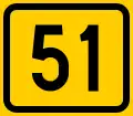
Finnish national road 51
 | |
|---|---|
| Kantatie 51, Stamväg 51 | |
 | |
| Route information | |
| Maintained by the Finnish Transport Agency | |
| Length | 74 km (46 mi) |
| Major junctions | |
| From | Helsinki |
| To | Raseborg |
| Location | |
| Country | Finland |
| Major cities | Espoo |
| Highway system | |
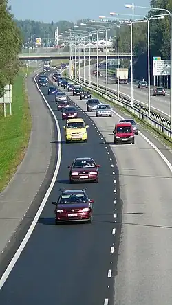
The Finnish national road 51 (Finnish: Kantatie 51; Swedish: Stamväg 51) is the 2nd class main route between the major cities of Helsinki and Raseborg in southern Finland.[1] It runs from Ruoholahti in Helsinki and passes through Espoo to Kirkkonummi as a motorway[2] called Länsiväylä (Swedish: Västerleden), where it continues to Karis in Raseborg as a smaller road.
Route
The road passes through the following localities:
- Helsinki (Ruoholahti and Lauttasaari)
- Espoo (Keilaniemi, Matinkylä and Nöykkiö)
- Kirkkonummi (Sarsvik, Jorvas, Kirkkonummi, and Vuohimäki)
- Siuntio (Fågelvik)
- Ingå (Degerby and Ingå)
- Raseborg) (Svarvarböle and Karis)
References
- ^ Kantatie 51 (in Finnish)
- ^ Uusi moottoritie Kirkkonummella valmistui kokonaisuudessaan (in Finnish)
External links
 Media related to National road 51 (Finland) at Wikimedia Commons