Flag Fork, Kentucky
Flag Fork, Kentucky | |
|---|---|
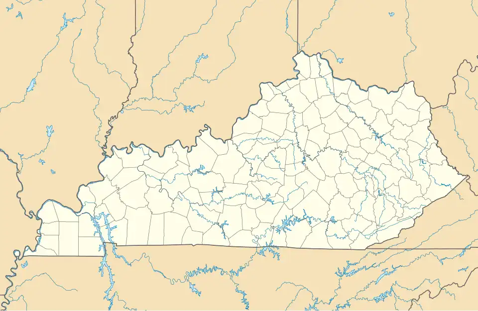 Flag Fork Location within the state of Kentucky  Flag Fork Flag Fork (the United States) | |
| Coordinates: 38°19′17″N 84°56′54″W / 38.32139°N 84.94833°W | |
| Country | United States |
| State | Kentucky |
| County | Franklin |
| Elevation | 673 ft (205 m) |
| Time zone | UTC-5 (Eastern (EST)) |
| • Summer (DST) | UTC-4 (EDT) |
| GNIS feature ID | 508003[1] |
Flag Fork is an unincorporated community in Franklin County, Kentucky, United States. Its post office[2] was open from 1875 to 1909.
The original name of the community was Baileys Mill. US Route 421 runs through the community.[3]
References
Municipalities and communities of Franklin County, Kentucky, United States | ||
|---|---|---|
| City | 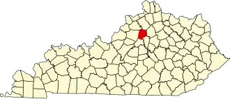 | |
| Unincorporated communities | ||