Flatlands, New Brunswick
Flatlands | |
|---|---|
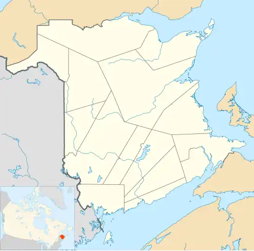 Location of Flatlands, New Brunswick | |
| Coordinates: 47°59′00″N 66°53′00″W / 47.983333°N 66.883333°W | |
| Country | Canada |
| Province | New Brunswick |
| County | Restigouche |
| Parish | Addington |
| Electoral Districts Federal | Madawaska—Restigouche |
| Provincial | Restigouche West |
| Government | |
| • Type | Local service district |
| Area | |
| • Land | 18.94 km2 (7.31 sq mi) |
| Population (2016) | |
• Total | 143 |
| • Density | 7.55/km2 (19.6/sq mi) |
| • Pop 2011-2016 | |
| • Dwellings | 83 |
| Time zone | UTC-4 (AST) |
| • Summer (DST) | UTC-3 (ADT) |
| Postal code(s) |
|
| Area code | 506 |
| Access Routes | |
Flatlands was a local service district in Addington Parish, Restigouche County, New Brunswick, Canada.[1] The Duncan family of Aberdeen, Scotland were the original settlers of Flatlands and Campbellton. In 1866, Flatlands was a farming and lumbering settlement with approximately 27 resident families.[2] In 1871, it had a population of 150.[2] In 1898, Flatlands was a station on the Intercolonial Railway and had one post office, three stores, a shingle mill, a church, and a population of about 400.[2]
Geography
Flatlands is located along the Restigouche River, opposite the Province of Quebec. It is approximately 5 km from Matapédia, Quebec, a 5-minute drive, and about 15 km from downtown Campbellton, New Brunswick, a 20-minute drive.[3][4] Route 11 is the major highway running through the community, with a posted speed limit of 80 km/h.[5]
Demographics
In the 2021 Census of Population conducted by Statistics Canada, Flatlands had a population of 153 living in 78 of its 87 total private dwellings, a change of 7% from its 2016 population of 143. With a land area of 18.83 km2 (7.27 sq mi), it had a population density of 8.1/km2 (21.0/sq mi) in 2021.[6]
| Name[6] | Parish[7] | Population (2021)[6] |
Population (2016)[6] |
Change[6] | Land area (km2)[6] |
Population density[6] |
|---|---|---|---|---|---|---|
| Flatlands part A | Addington | 148 | 143 | +3.5% | 15.71 | 9.4/km2 |
| Flatlands part B | Eldon | 5 | 0 | NA | 3.12 | 1.6/km2 |
| Total | — | 153 | 143 | +7.0% | 18.83 | 8.1/km2 |
References
- ^ New Brunswick Provincial Archives - Flatlands
- ^ a b c "Flatlands". Provincial Archives of New Brunswick. Retrieved 15 May 2012.
- ^ "Google Maps | Get Directions - Flatlands NB to Matapédia QC". Google Maps. Retrieved April 21, 2019.
- ^ "Google Maps | Get Directions - Flatlands NB to Campbellton NB". Google Maps. Retrieved April 21, 2019.
- ^ "Google Maps | Street View - Route 11 Flatlands NB". Google Maps. Retrieved April 21, 2019.
- ^ a b c d e f g "Population and dwelling counts: Canada and designated places". Statistics Canada. February 9, 2022. Retrieved January 2, 2025.
- ^ "Population and dwelling counts, for Canada, provinces and territories, census divisions, census subdivisions (municipalities) and designated places, 2016 and 2011 censuses – 100% data (New Brunswick)". Statistics Canada. February 7, 2018. Retrieved August 30, 2021.
Places adjacent to Flatlands, New Brunswick | |
|---|---|
Subdivisions of New Brunswick | |
|---|---|
| Cities | |
| Towns |
|
| Villages | |
| Regional municipality | |
| Rural communities | |
| Rural districts |
|
| Regional service commissions | |
| School districts | |
| Indian reserves |
|
| Non-administrative divisions | |
| |