Flatraket
Flatraket | |
|---|---|
Village | |
 View of the village | |
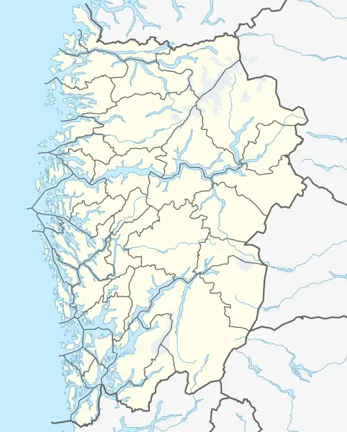 Flatraket Location of the village 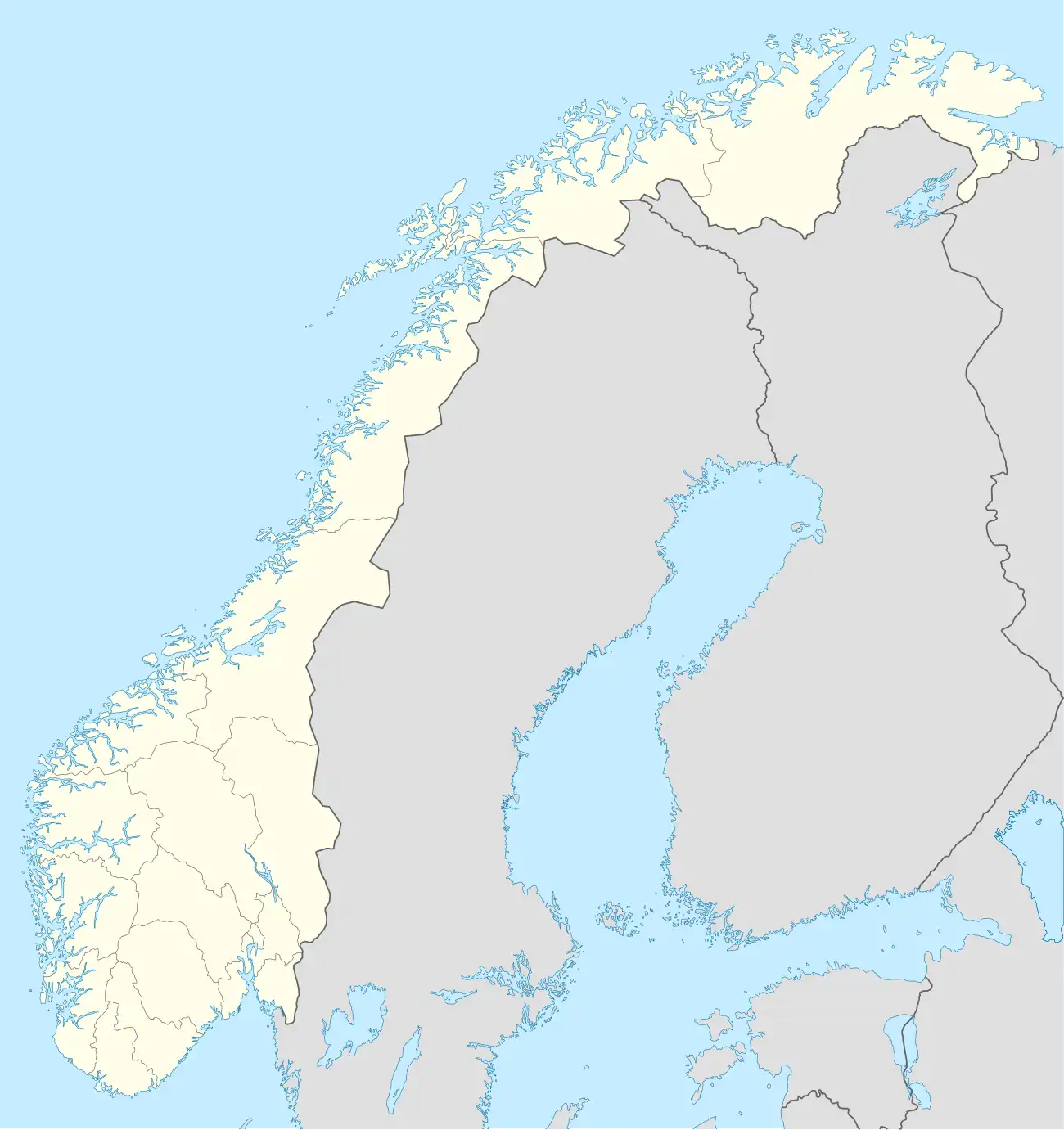 Flatraket Flatraket (Norway) | |
| Coordinates: 61°58′26″N 5°13′47″E / 61.9739°N 5.2297°E | |
| Country | Norway |
| Region | Western Norway |
| County | Vestland |
| District | Nordfjord |
| Municipality | Stad Municipality |
| Elevation | 17 m (56 ft) |
| Population (2001) | |
• Total | 306 |
| Time zone | UTC+01:00 (CET) |
| • Summer (DST) | UTC+02:00 (CEST) |
| Post Code | 6717 Flatraket |
Flatraket is a small village in Stad Municipality in Vestland county, Norway. The village is located about 16 kilometres (9.9 mi) northeast of the town of Måløy (in Kinn Municipality), about 4 kilometres (2.5 mi) northwest of the village of Håvik, and about 30 kilometres (19 mi) southwest of the village of Selje. Flatraket has a good view of the island of Silda and the Stadlandet peninsula. The population (2001) of Flatraket was 306.[2]
Traditionally, fishing and agriculture have been important for this village, and the largest business there now is AS Fiskevegn. Flatraket has a school, a kindergarten, and a grocery store.
References
- ^ "Flatraket, Stad (Vestland)". yr.no. Retrieved 2019-10-06.
- ^ Statistisk sentralbyrå (2001). "Folke- og boligtellingen 2001, kommune- og bydelshefter 1441 Selje" (PDF) (in Norwegian).