Ford, Merseyside
| Ford | |
|---|---|
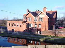 Cookson's Bridge public house adjacent to the Leeds-Liverpool canal, at Ford | |
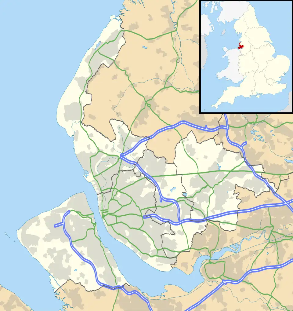 Ford Location within Merseyside | |
| OS grid reference | SJ340944 |
| Metropolitan borough | |
| Metropolitan county | |
| Region | |
| Country | England |
| Sovereign state | United Kingdom |
| Post town | LIVERPOOL |
| Postcode district | L21 |
| Dialling code | 0151 |
| Police | Merseyside |
| Fire | Merseyside |
| Ambulance | North West |
| UK Parliament | |
Ford is an area and electoral ward in the borough of Sefton, Merseyside, England. The population of Ford taken at the 2011 census was 12,731.[1]
Ford is situated to the east of Crosby next to Rimrose Valley, and north of Litherland and is in the L21 postcode.
History
On 9 November 1905 Ford became a separate civil parish, being formed from Orrell and Ford,[2] on 1 April 1954 the parish was abolished and merged with Litherland.[3] In 1951 the parish had a population of 1392.[4]
References
- ^ "Ward population 2011". Retrieved 2 June 2015.
- ^ "Relationships and changes Ford CP through time". A Vision of Britain through Time. Retrieved 27 September 2024.
- ^ "Crosby Registration District". UKBMD. Retrieved 27 September 2024.
- ^ "Population statistics Ford CP through time". A Vision of Britain through Time. Retrieved 27 September 2024.
External links
Wikimedia Commons has media related to Ford, Merseyside.