Fort Ware Airport
Fort Ware Airport | |||||||||||||||
|---|---|---|---|---|---|---|---|---|---|---|---|---|---|---|---|
| Summary | |||||||||||||||
| Airport type | Public | ||||||||||||||
| Operator | Fort Ware Indian Band Council | ||||||||||||||
| Location | Fort Ware, British Columbia | ||||||||||||||
| Time zone | PST (UTC−08:00) | ||||||||||||||
| • Summer (DST) | PDT (UTC−07:00) | ||||||||||||||
| Elevation AMSL | 2,500 ft / 762 m | ||||||||||||||
| Coordinates | 57°25′46″N 125°38′058″W / 57.42944°N 125.64944°W | ||||||||||||||
| Map | |||||||||||||||
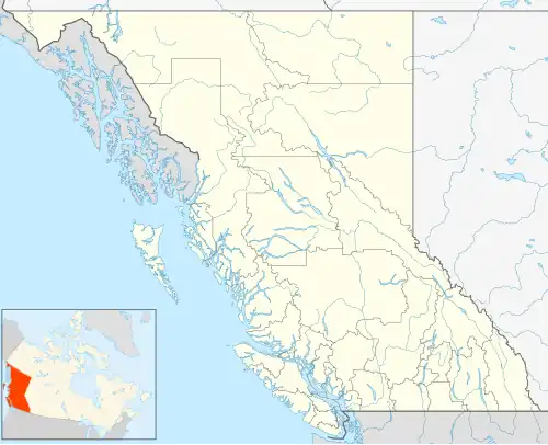 CAJ9 Location in British Columbia  CAJ9 CAJ9 (Canada) | |||||||||||||||
| Runways | |||||||||||||||
| |||||||||||||||
Source: Canada Flight Supplement[1] | |||||||||||||||
Fort Ware Airport (TC LID: CAJ9) is located adjacent to Fort Ware, British Columbia, Canada. It operates on two gravel runways that each extend to 1,376 and 1,490 meters.
See also
References
| By name | |
|---|---|
| By location indicator | |
| By province/territory | |
| By area | |
| National Airports System | |
| Related | |
| |