Forty Mile Colony, Montana
Forty Mile Colony, Montana | |
|---|---|
 Forty Mile Colony  Forty Mile Colony | |
| Coordinates: 45°16′56″N 107°21′22″W / 45.28222°N 107.35611°W | |
| Country | United States |
| State | Montana |
| County | Big Horn |
| Area | |
• Total | 0.19 sq mi (0.50 km2) |
| • Land | 0.19 sq mi (0.50 km2) |
| • Water | 0.00 sq mi (0.00 km2) |
| Elevation | 3,438 ft (1,048 m) |
| Population (2020) | |
• Total | 28 |
| • Density | 146.60/sq mi (56.54/km2) |
| Time zone | UTC-7 (Mountain (MST)) |
| • Summer (DST) | UTC-6 (MDT) |
| ZIP Code | 59050 (Lodge Grass) |
| Area code | 406 |
| FIPS code | 30-28725 |
| GNIS feature ID | 2806613[2] |
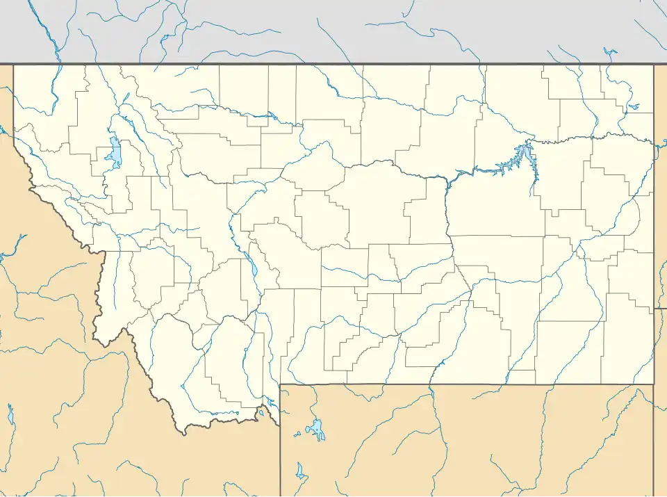
Forty Mile Colony is a Hutterite colony[3] and census-designated place (CDP) in Big Horn County, Montana, United States, within the Crow Indian Reservation. It is in the valley of the Little Bighorn River, 3 miles (5 km) south of the town of Lodge Grass.
The location was first listed as a CDP prior to the 2020 census.[2]
Demographics
| Census | Pop. | Note | %± |
|---|---|---|---|
| 2020 | 28 | — | |
| U.S. Decennial Census[4] | |||
References
- ^ "ArcGIS REST Services Directory". United States Census Bureau. Retrieved September 5, 2022.
- ^ a b c U.S. Geological Survey Geographic Names Information System: Forty Mile Colony, Montana
- ^ Morton, Claudette, ed. (2010). Essential Understandings of Montana Hutterites: A Resource for Educators and Students (PDF). Montana Office of Public Instruction. p. 2. Archived from the original (PDF) on June 9, 2021. Retrieved June 9, 2021.
- ^ "Census of Population and Housing". Census.gov. Retrieved June 4, 2016.
Municipalities and communities of Big Horn County, Montana, United States | ||
|---|---|---|
| City | 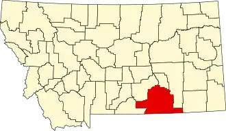 | |
| Town | ||
| CDPs | ||
| Other communities | ||
| Indian reservations | ||
| Footnotes | ‡This populated place also has portions in an adjacent county or counties | |