Foster, Kentucky
Foster | |
|---|---|
 Lenoxburg-Foster Road | |
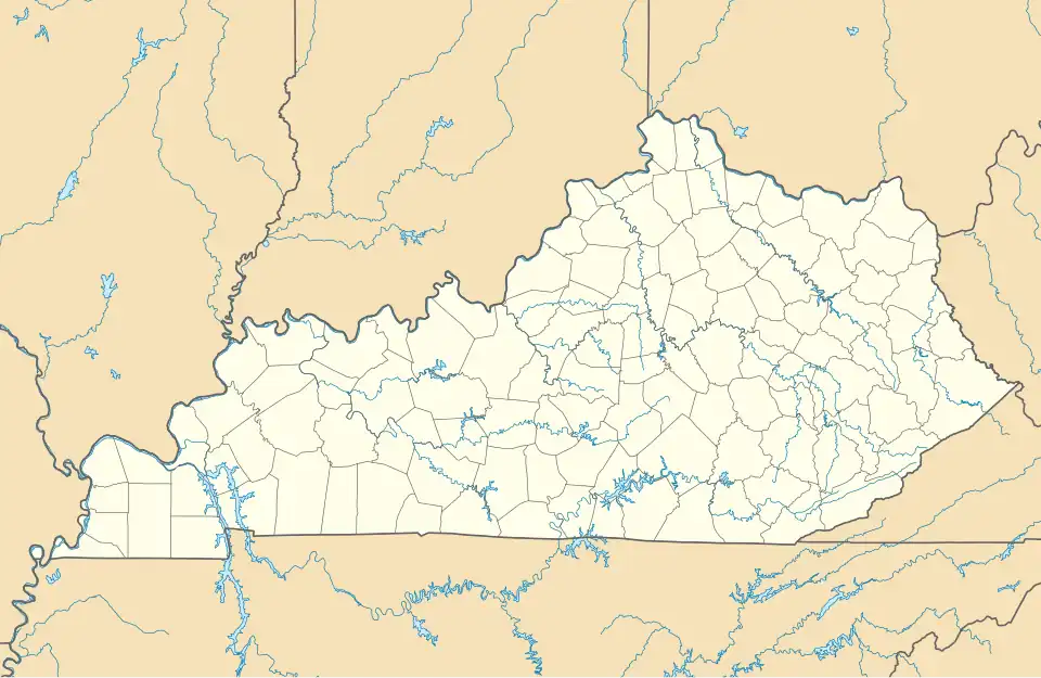 Foster Location within the state of Kentucky  Foster Foster (the United States) | |
| Coordinates: 38°47′57″N 84°12′47″W / 38.79917°N 84.21306°W | |
| Country | United States |
| State | Kentucky |
| County | Bracken |
| Area | |
• Total | 0.098 sq mi (0.25 km2) |
| • Land | 0.098 sq mi (0.25 km2) |
| • Water | 0 sq mi (0 km2) |
| Elevation | 528 ft (161 m) |
| Population | |
• Total | 44 |
| • Density | 450/sq mi (170/km2) |
| Time zone | UTC-5 (Eastern (EST)) |
| • Summer (DST) | UTC-4 (EDT) |
| ZIP codes | 41043 |
| GNIS feature ID | 517057[2] |
Foster (also known as Fosters) is an unincorporated community located in Bracken County, Kentucky, United States. Its population was 44 as of the 2010 census, which recorded it as a city;[3] although Foster was once incorporated, it had become unincorporated by 2008.[4]
History
Foster has the name of pioneer citizen Israel Foster.[5] Variant names have been "Fosters Landing" and "Fosters".[2][5] A post office called Foster's Landing was established in 1847, and the name was changed to Foster in 1850.[6]
References
- ^ "US Gazetteer files: 2010, 2000, and 1990". United States Census Bureau. February 12, 2011. Retrieved April 23, 2011.
- ^ a b c U.S. Geological Survey Geographic Names Information System: Foster
- ^ a b "U.S. Census website". United States Census Bureau. Retrieved May 14, 2011.
- ^ U.S. Geological Survey Geographic Names Information System: City of Foster (historical)
- ^ a b Rennick, Robert M. (1987). Kentucky Place Names. University Press of Kentucky. p. 107. ISBN 0813126312. Retrieved April 28, 2013.
- ^ "Bracken County". Jim Forte Postal History. Archived from the original on July 3, 2011. Retrieved January 11, 2015.
Municipalities and communities of Bracken County, Kentucky, United States | ||
|---|---|---|
| Cities |  | |
| Unincorporated communities | ||
| Ghost towns | ||
| Footnotes | ‡This populated place also has portions in an adjacent county or counties | |