Frătești
Frătești | |
|---|---|
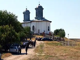 The church in Frătești | |
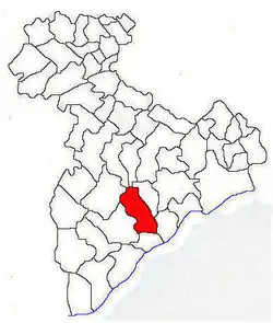 Location in Giurgiu County | |
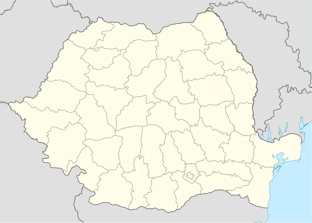 Frătești Location in Romania | |
| Coordinates: 43°59′27″N 25°55′55″E / 43.9908°N 25.9319°E | |
| Country | Romania |
| County | Giurgiu |
| Government | |
| • Mayor (2020–2024) | Gabriel-Marian Pană[1] (ALDE) |
| Elevation | 72 m (236 ft) |
| Highest elevation | 92 m (302 ft) |
| Lowest elevation | 20 m (70 ft) |
| Population (2021-12-01)[2] | 5,000 |
| Time zone | EET/EEST (UTC+2/+3) |
| Postal code | 87080 |
| Area code | +(40) 246 |
| Vehicle reg. | GR |
| Website | primariacomuneifratesti |
Frătești is a commune located in Giurgiu County, Muntenia, Romania. It is composed of three villages: Cetatea, Frătești, and Remuș.
The commune is located in the southern part of the county, bordering to the south the county seat, Giurgiu. Frătești also borders the following communes: Stănești to the west, Izvoarele to the northwest, Stoenești to the north, and Daia and Oinacu to the east.[3]
| Year | Pop. | ±% |
|---|---|---|
| 2002 | 5,616 | — |
| 2011 | 5,361 | −4.5% |
| 2021 | 5,000 | −6.7% |
| Source: Census data | ||
References
- ^ "Results of the 2020 local elections". Central Electoral Bureau. Archived from the original on 9 October 2020. Retrieved 8 June 2021.
- ^ "Populaţia rezidentă după grupa de vârstă, pe județe și municipii, orașe, comune, la 1 decembrie 2021" (XLS). National Institute of Statistics.
- ^ "Cadrul geografic". primariacomuneifratesti.ro (in Romanian). Frătești. Retrieved March 29, 2024.
-
 Ottoman militia dismantled at Frătești, during the Romanian War of Independence (1877)
 -
 View of Frătești from the church
 -
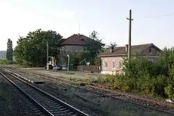 Bălănoaia train station in Cetatea