Fresno de Torote
Fresno de Torote | |
|---|---|
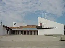 City hall. | |
 Coat of arms | |
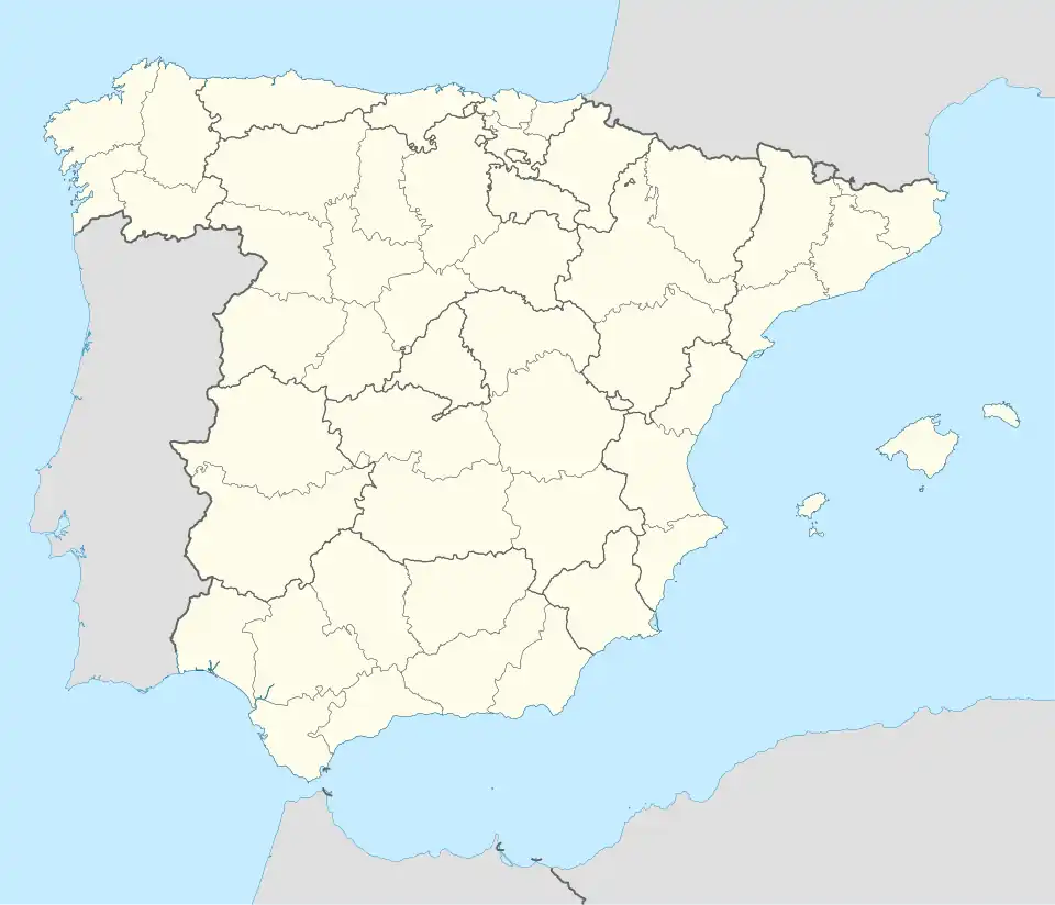 Fresno de Torote Location in Spain | |
| Coordinates: 40°35′24″N 3°24′46″W / 40.59000°N 3.41278°W | |
| Country | |
| Autonomous community | Community of Madrid |
| Province | Madrid |
| Comarca | Cuenca del Henares |
| Government | |
| • Mayor | Mariano Blancos Martín |
| Area | |
• Total | 31.6 km2 (12.2 sq mi) |
| Elevation | 639 m (2,096 ft) |
| Population (2018)[1] | |
• Total | 2,181 |
| • Density | 69/km2 (180/sq mi) |
| Demonym | Fresneros |
| Time zone | UTC+1 (CET) |
| • Summer (DST) | UTC+2 (CEST) |
| Postal code | 28815 |
Fresno de Torote (Spanish: [ˈfɾesno ðe toˈɾote] ⓘ) is a municipality of the autonomous community of Madrid in central Spain. It belongs to the comarca of Alcalá.
Sights include the church of San Esteban, in Mudéjar-Renaissance style.
References
- ^ Municipal Register of Spain 2018. National Statistics Institute.
External links
 Media related to Fresno de Torote at Wikimedia Commons