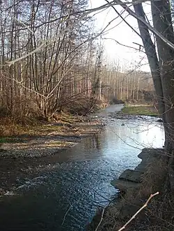
Galaure
| Galaure | |
|---|---|
 | |
 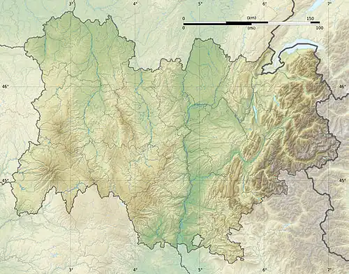 | |
| Location | |
| Country | France |
| Physical characteristics | |
| Source | |
| • location | Roybon |
| • coordinates | 45°16′26″N 05°18′31″E / 45.27389°N 5.30861°E |
| • elevation | 635 m (2,083 ft) |
| Mouth | |
• location | Rhône |
• coordinates | 45°10′37″N 04°48′47″E / 45.17694°N 4.81306°E |
• elevation | 125 m (410 ft) |
| Length | 56.2 km (34.9 mi) |
| Basin size | 232 km2 (90 sq mi) |
| Discharge | |
| • average | 2.18 m3/s (77 cu ft/s) |
| Basin features | |
| Progression | Rhône→ Mediterranean Sea |
The Galaure (French pronunciation: [ɡalɔʁ]) is a 56.2 km (34.9 mi) long river in the Isère and Drôme departments in southeastern France.[1] Its source is in Roybon. It flows generally west-southwest. It is a left tributary of the Rhône, into which it flows at Saint-Vallier.
Departments and communes along its course
This list is ordered from source to mouth:
- Isère: Roybon, Saint-Pierre-de-Bressieux, Montfalcon,
- Drôme: Montrigaud,
- Isère:Saint-Clair-sur-Galaure,
- Drôme: Le Grand-Serre, Hauterives, Châteauneuf-de-Galaure, Mureils, La Motte-de-Galaure, Saint-Barthélemy-de-Vals, Saint-Uze, Saint-Vallier,
References