Gardner, Colorado
Gardner, Colorado | |
|---|---|
 Gardner on a snowy day in late 2014. | |
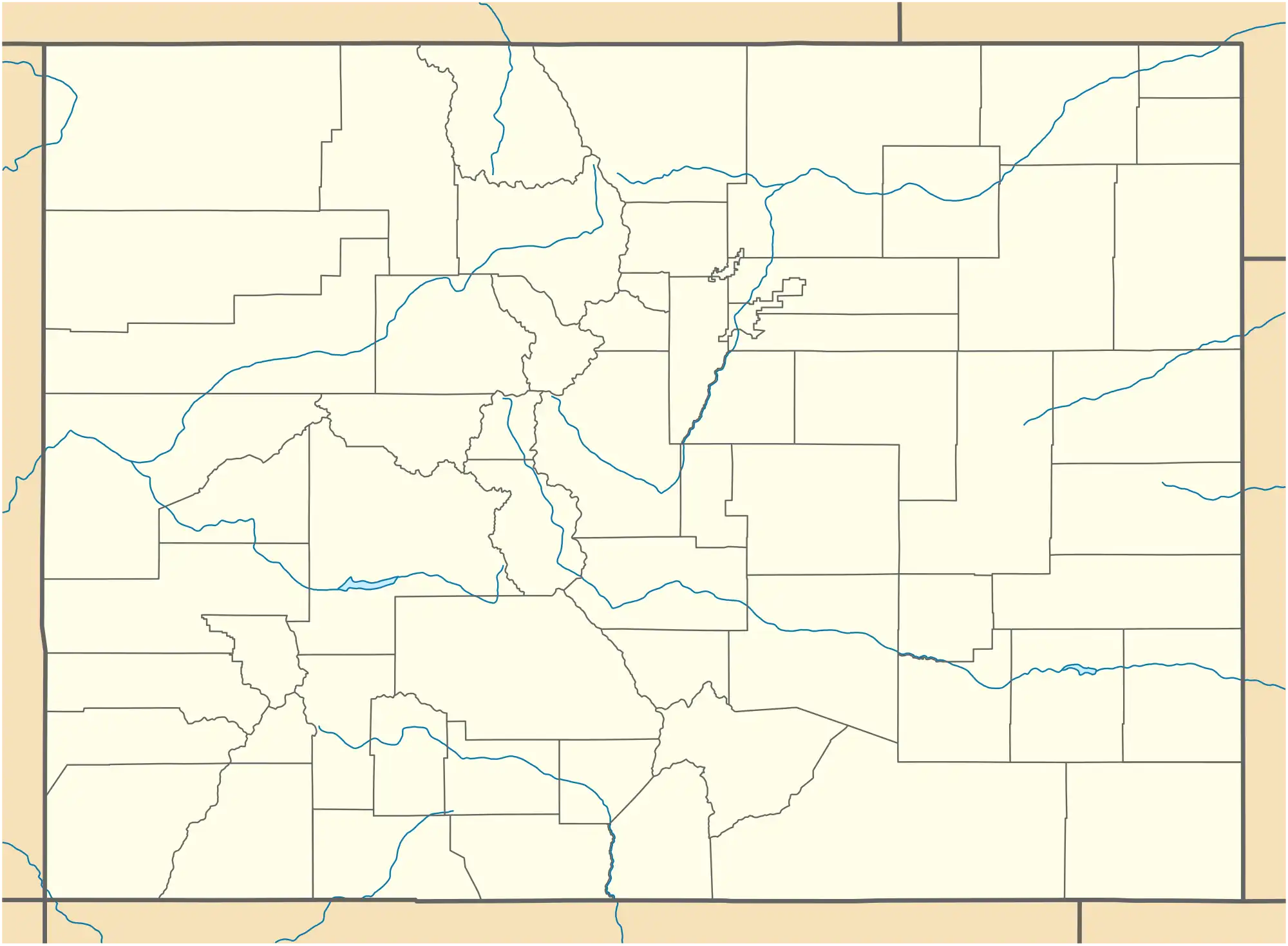 Gardner Location of the Gardner CDP in the State of Colorado. | |
| Coordinates: 37°47′20″N 105°09′52″W / 37.78889°N 105.16444°W[1] | |
| Country | |
| State | |
| County | Huerfano County |
| Government | |
| • Type | unincorporated town |
| Area | |
• Total | 2.472 sq mi (6.403 km2) |
| • Land | 2.472 sq mi (6.403 km2) |
| • Water | 0.000 sq mi (0.000 km2) |
| Elevation | 7,021 ft (2,140 m) |
| Population | |
• Total | 106 |
| • Density | 43/sq mi (17/km2) |
| Time zone | UTC-7 (MST) |
| • Summer (DST) | UTC-6 (MDT) |
| ZIP Code[4] | 81040 |
| Area code | 719 |
| GNIS feature ID | 2805922[1] |
Gardner is a census-designated place (CDP) and post office in and governed by Huerfano County, Colorado, United States. The Gardner post office has the ZIP Code 81040.[4] At the United States Census 2020, the population of the Gardner CDP was 106.[3]
History
The Gardner Post Office has been in operation since 1871.[5] The community has the name of Herbert Gardner, a local pioneer.[6] Herbert was the son of Henry Gardner.
Geography
The Gardner CDP has an area of 1,582 acres (6.403 km2), all land.[2]
Demographics
| Census | Pop. | Note | %± |
|---|---|---|---|
| 2020 | 106 | — | |
| United States Census Bureau | |||
The United States Census Bureau defined the Gardner CDP for the United States Census 2020.
Education
It is in the Huerfano School District RE-1.[7]
See also
References
- ^ a b c d U.S. Geological Survey Geographic Names Information System: Gardner, Colorado
- ^ a b "State of Colorado Census Designated Places - BAS20 - Data as of January 1, 2020". United States Census Bureau. Retrieved December 22, 2020.
- ^ a b "Gardner CDP, Colorado". United States Census Bureau. Retrieved November 5, 2022.
- ^ a b "Look Up a ZIP Code". United States Postal Service. Retrieved December 22, 2020.
- ^ "Post offices". Jim Forte Postal History. Archived from the original on March 6, 2016. Retrieved June 25, 2016.
- ^ Dawson, John Frank. Place names in Colorado: why 700 communities were so named, 150 of Spanish or Indian origin. Denver, CO: The J. Frank Dawson Publishing Co. p. 23.
- ^ Geography Division (December 17, 2020). 2020 CENSUS - SCHOOL DISTRICT REFERENCE MAP: Huerfano County, CO (PDF) (Map). U.S. Census Bureau. Retrieved August 4, 2025. - Text list
External links
Wikimedia Commons has media related to Gardner, Colorado.
Municipalities and communities of Huerfano County, Colorado, United States | ||
|---|---|---|
| City |  | |
| Town | ||
| CDP | ||
| Unincorporated communities | ||
| Ghost towns | ||