Garko, Gombe State
Garko | |
|---|---|
 Garko town Community | |
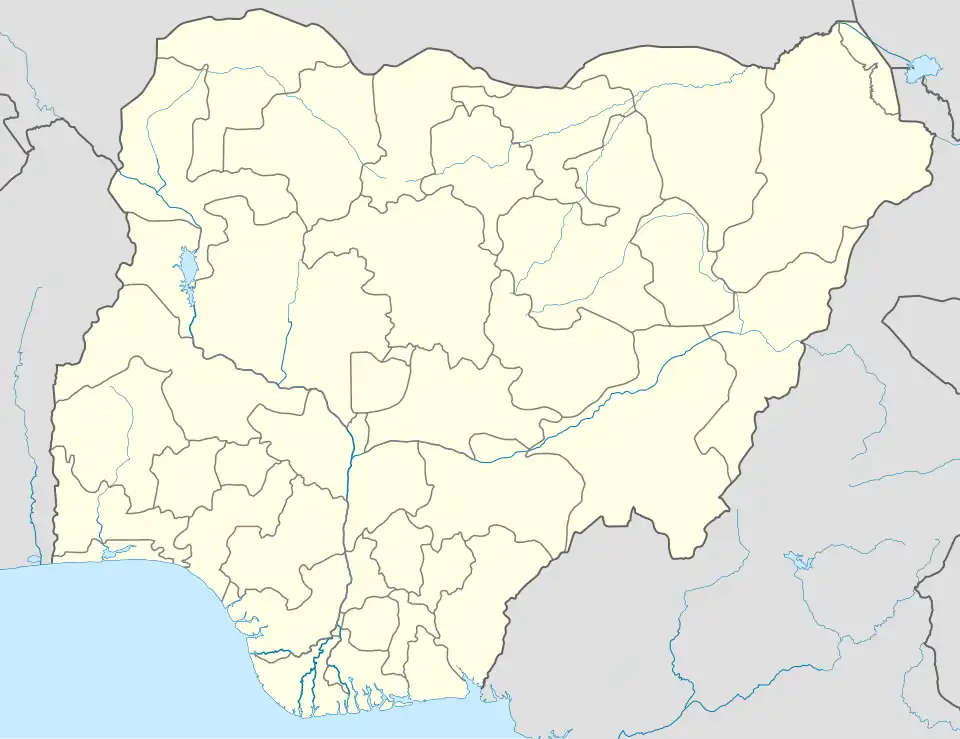 Garko Location in Nigeria | |
| Coordinates: 10°10′30″N 11°9′52″E / 10.17500°N 11.16444°E | |
| Country | |
| State | Gombe State |
| Headquarters | Akko |
| Government | |
| • Type | Democratic |
| Area | |
• Total | 112.8 km2 (43.6 sq mi) |
| Population (21,141 in 2006 census) | |
| • Ethnicities | Fulani Tangale |
| • Religions | mostly populated are Muslims and some few Christians |
| Time zone | UTC1 (WAT) |
Garko is a ward located in Gombe State, Nigeria's Akko Local Government Area. About 12.7 kilometers, or 7.9 miles, from Garko.[1] The distance is roughly 421 kilometers / 262 mi from Garko to Abuja, the capital of Nigeria.[2]
The Postcode of the area is 771104.[3]
Gallery
-
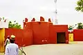 Garko palace, Akko LGA Gombe State.
 -
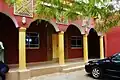 Garko Palace area.
 -
 Wani duste a garin Garko, Akko LGA, Gombe State.
 -
 Eloquent rock in Garko town.
 -
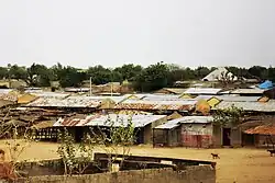
 Garko Village.
References
- ^ "Distance from Gombe to Garko". www.distancefromto.net. Retrieved 2024-08-27.
- ^ "Garko, Nigeria - Facts and information on Garko - Nigeria.Places-in-the-world.com". nigeria.places-in-the-world.com. Retrieved 2024-08-26.
- ^ "Garko, Akko - Postcode - 771104 - Nigeria Postcode". www.nigeriapostcode.com. Retrieved 2024-08-26.