Gata, Extremadura
Gata | |
|---|---|
municipality | |
.svg.png) Flag .svg.png) Coat of arms | |
 Gata | |
| Coordinates: 40°14′N 6°36′W / 40.233°N 6.600°W | |
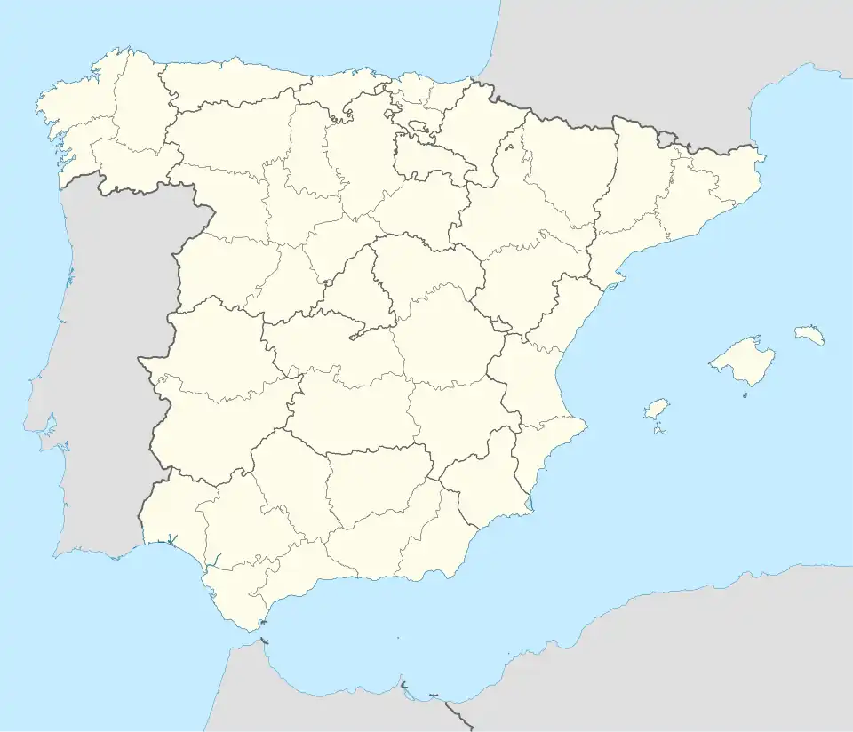
| Country | Spain |
| Autonomous community | Extremadura |
| Province | Cáceres |
| Comarca | Sierra de Gata |
| Area | |
• Total | 94.18 km2 (36.36 sq mi) |
| Elevation | 637 m (2,090 ft) |
| Population (2018)[1] | |
• Total | 1,493 |
| • Density | 16/km2 (41/sq mi) |
| Time zone | UTC+1 (CET) |
| • Summer (DST) | UTC+2 (CEST) |
Gata is a municipality located in the province of Cáceres, Extremadura, Spain.[2] The Postal Code is 10860.
Villages
- Gata
- Moheda de Gata (La Mueda)
See also
See also
References
- ^ Municipal Register of Spain 2018. National Statistics Institute.
- ^ "Cabo de Gata - a secret destination in Spain". Love and Road. 2014-11-20. Retrieved 2021-01-04.
External links
Wikimedia Commons has media related to Gata (Cáceres).
40°14′N 6°36′W / 40.233°N 6.600°W