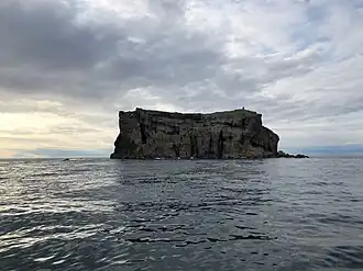
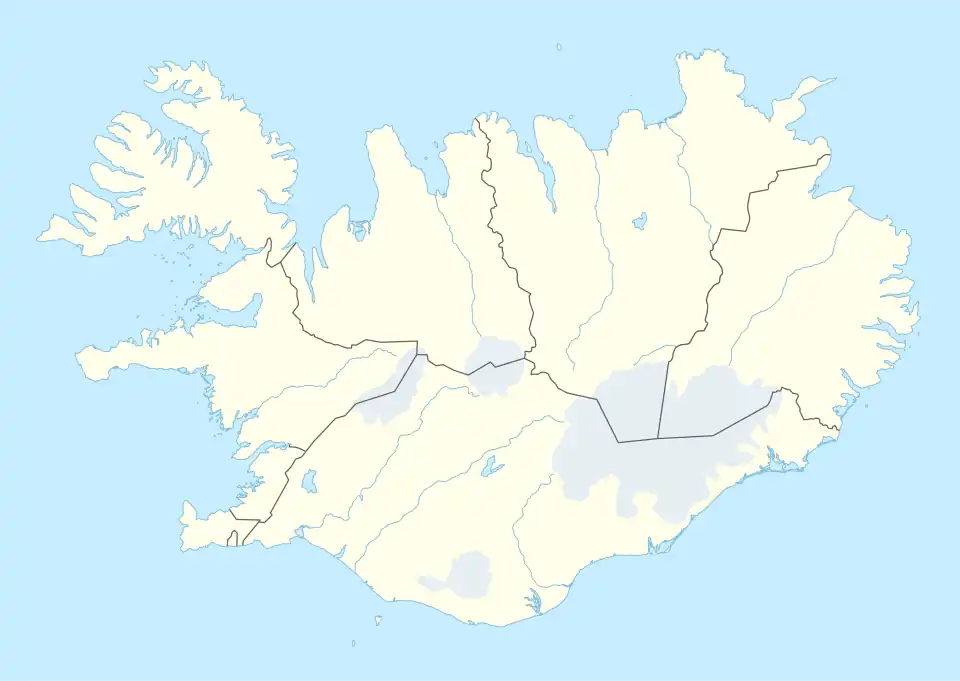
Geirfuglasker (Vestmannaeyjar)
Native name: Geirfuglasker | |
|---|---|
 | |
 Geirfuglasker | |
| Other names |
|
| Geography | |
| Location | Atlantic Ocean |
| Coordinates | 63°19′N 20°30′W / 63.32°N 20.50°W |
| Archipelago | Vestmannaeyjar |
| Area | 19,034.84 m2 (204,889.3 sq ft) |
| Coastline | 574.75 m (1885.66 ft) |
| Administration | |
| Constituency | Suðurkjördæmi |
| Region | Suðurland |
| Municipality | Vestmannaeyjar |
| Capital and largest city | Reykjavík (pop. 123 246) |
| President | Guðni Th. Jóhannesson |
| Demographics | |
| Population | 0 |
| Pop. density | 0/km2 (0/sq mi) |
| Additional information | |
| Time zone |
|
Geirfuglasker (Icelandic pronunciation: [ˈceirˌfʏklaˌscɛːr̥] ⓘ, lit. 'Great Auk Skerry'),[1] also known as Geirfugladrangur (lit. 'Great Auk Stack'),[2] or Freykja ([ˈfreiːca]), is a small, uninhabited island in the Vestmannaeyjar archipelago.[1][2]
Geirfuglasker is located approximately 30 kilometres (19 mi) off Iceland's southwestern coast.[1][2] The island hosted one of the last known colony of great auks, which thrived given its inaccessibility to humans. A volcanic eruption in 1830 forced the birds to move to Eldey, where the last pair was killed in 1844.[1]
References
- ^ a b c d "Geirfuglasker". Iceland Magazine. 22 August 2016. Retrieved 1 March 2024.
- ^ a b c "Powerful earthquake swarm off the coast of Reykjanes peninsula, SW of Reykjavík". Iceland Magazine. 13 February 2017. Retrieved 1 March 2024.