General Thomas Hills
| General Thomas Hills | |
|---|---|
| Highest point | |
| Elevation | 1,991 m (6,532 ft) |
| Geography | |
| Country | United States |
| State | Nevada |
| District | Esmeralda County |
| Range coordinates | 37°57′41.756″N 117°24′16.315″W / 37.96159889°N 117.40453194°W |
| Topo map | USGS Paymaster Canyon |
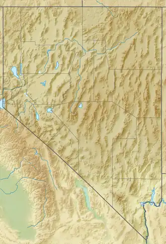
The General Thomas Hills are a mountain range in Esmeralda County, Nevada.[1]
References
- ^ a b "General Thomas Hills". Geographic Names Information System. United States Geological Survey, United States Department of the Interior. Retrieved 2009-05-04.