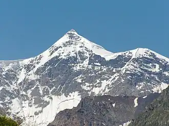
Gistola
| Gistola | |
|---|---|
| Gestola | |
 | |
| Highest point | |
| Elevation | 4,860 m (15,940 ft)[1] |
| Prominence | 320 m (1,050 ft)[2] |
| Isolation | 2.09 km (1.30 mi) |
| Coordinates | 43°02′51.2″N 43°01′33.6″E / 43.047556°N 43.026000°E[1] |
| Naming | |
| Native name |
|
| Geography | |
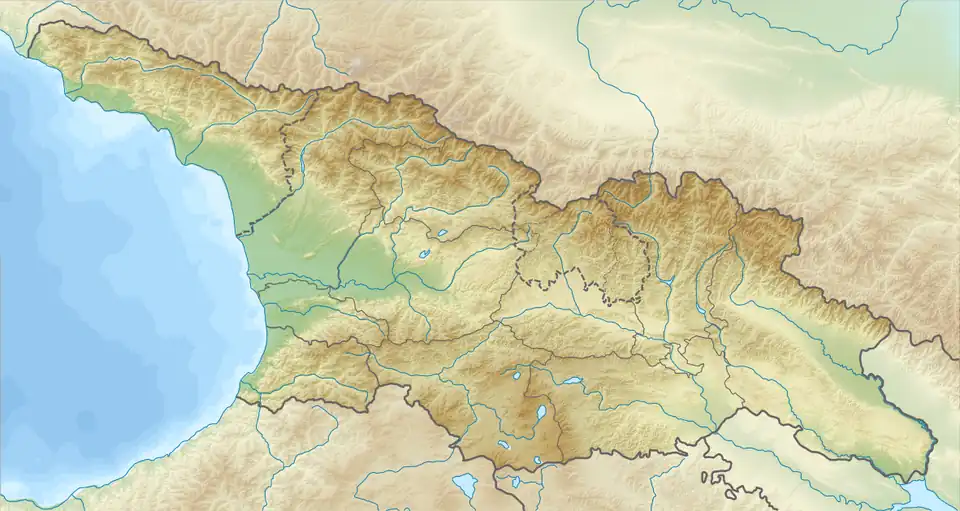 Gistola Georgia | |
| Location | Kabardino-Balkaria, Russia / Svaneti, Georgia |
| Country | |
| Parent range | Greater Caucasus |
Gistola (Georgian: გისტოლა; Karachay-Balkar: Гестола, romanized: Gestola) is a peak in the central part of the Greater Caucasus Mountain Range on Georgia–Russia border. The elevation of the mountain is 4,860 m (15,940 ft) above sea level. The mountain is made up of paleozoic granites. The slopes of Gistola are covered with ice.
See also
References
- ^ a b "Gistola". Peakware.com. Archived from the original on 2016-03-04. Retrieved 2013-05-04.
- ^ Gestola, Russia/Georgia. Peakbagger.com. Retrieved 2018-05-27.
Sources
- Georgian State (Soviet) Encyclopedia. 1978. Book 3. p. 172.