Ghanghata
Ghanghata | |
|---|---|
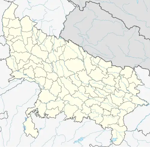 Ghanghata Location in Uttar Pradesh, India  Ghanghata Ghanghata (India) | |
| Coordinates: 26°33′15.10″N 83°0′29.02″E / 26.5541944°N 83.0080611°E | |
| Country | |
| State | Uttar Pradesh |
| District | Sant Kabir Nagar |
| Area | |
• Total | 653.17 km2 (252.19 sq mi) |
| Languages | |
| • Official | Hindi |
| Time zone | UTC+5:30 (IST) |
| PIN | 272162 |
| Telephone code | 91-5547 |
| Vehicle registration | UP 58 |
| Website | up |
Ghanghata is a village and tehsil in the Sant Kabir Nagar district in the Uttar Pradesh state in India.[1] It is one of three tehsils in the Sant Kabir Nagar district.[2]
Demography
In 2011 Ghanghata had a total population of 425,101, of which males constituted 214,258 (50.4%) of the population, and females 210,843 (49.6%), according to India census.[3][4] In 2021 the population had increased to 641,851.
Towns and villages
There is one town and 579 villages in Ghanghata Tehsil, including:
- Chhapra Magarbi
- Lutuhi
References
- ^ Director of Census Operations, Uttar Pradesh (2007). Uttar Pradesh Administrative Atlas. Vol. 2. Directorate of Census Operations. p. 260.
- ^ "Sant Kabir Nagar district - History". Sant Kabir Nagar district. Retrieved 7 October 2022.
- ^ "Sub-District Details". Census of India. 2011. Archived from the original on 26 December 2013.
- ^ "Ghanghata Tehsil Population". Census India. Retrieved 7 October 2022.