Gharinda Union
Gharinda Union
ঘারিন্দা ইউনিয়ন | |
|---|---|
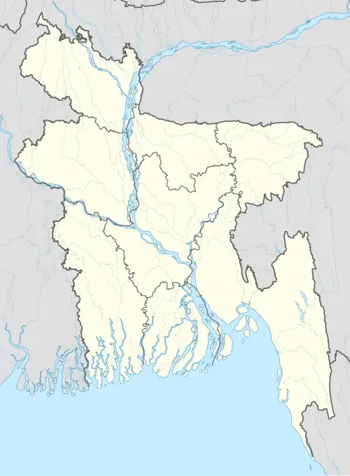 Gharinda Union Location of Gharinda in Bangladesh | |
| Coordinates: 24°16′26.3712″N 89°56′41.0676″E / 24.273992000°N 89.944741000°E | |
| Country | Bangladesh |
| Division | Dhaka Division |
| District | Tangail District |
| Upazila | Tangail Sadar Upazila |
| Established on | 1984 |
| Government | |
| • Type | Union Council |
| Area | |
• Total | 19.86 km2 (7.67 sq mi) |
| Elevation | 14 m (46 ft) |
| Population (2011) | |
• Total | 31,817 |
| • Density | 1,600/km2 (4,100/sq mi) |
| Time zone | UTC+6 (BST) |
| Website | gharindhaup |
Gharinda Union (Bengali: ঘারিন্দা ইউনিয়ন) is a union of Tangail Sadar Upazila, Tangail District, Bangladesh. It is situated 4 kilometres (2.5 mi) east of Tangail city on the bank of Bongshai River.
Demographics
According to the 2011 Bangladesh census, Gharinda Union had 7,496 households and a population of 31,817.[1]
The literacy rate (age 7 and over) was 45.1% (Male-48.4%, Female-42.1%).[2]
Transport
The railway station serving Tangail city is situated beside Gharinda Bazar in this union.
See also
References
- ^ "Population Census 2011: Tangail Table C-01" (PDF). Bangladesh Bureau of Statistics. Archived from the original (PDF) on 2016-12-02. Retrieved 2016-03-01.
- ^ "Population Census 2011: Tangail Table C-06" (PDF). Bangladesh Bureau of Statistics. Archived from the original (PDF) on 2016-12-02. Retrieved 2016-03-01.