Gholgaon
Gholgaon | |
|---|---|
village | |
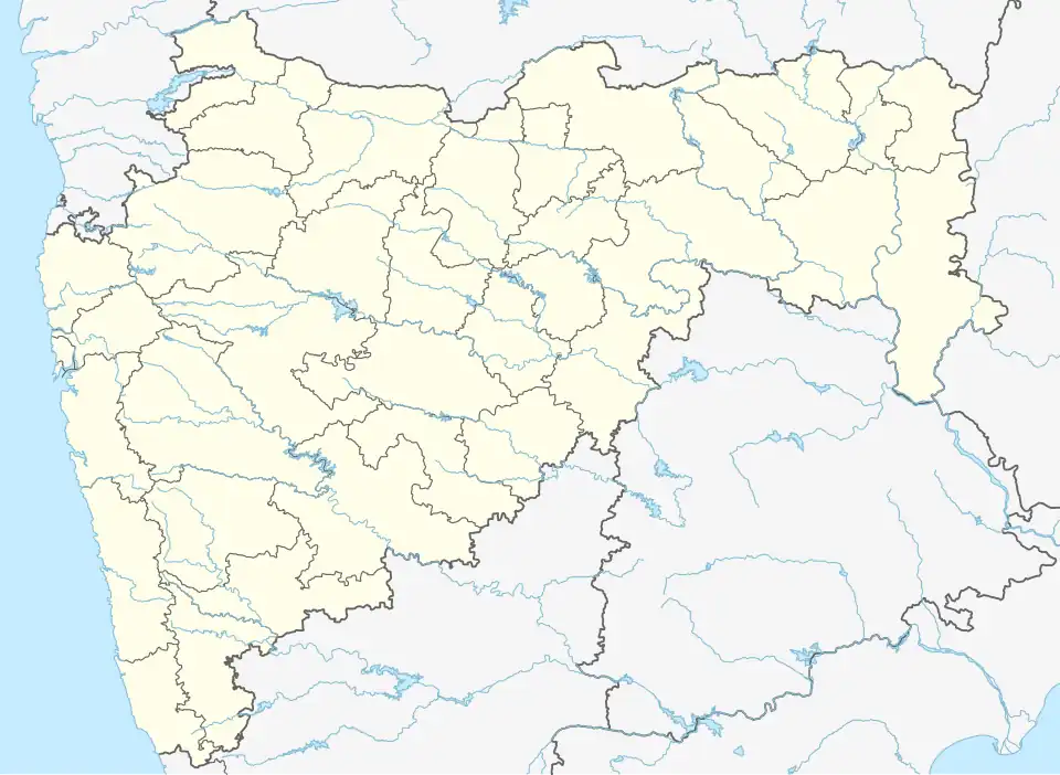 Gholgaon Location in Maharashtra, India  Gholgaon Gholgaon (India) | |
| Coordinates: 19°16′37″N 73°05′42″E / 19.2768453°N 73.0951264°E | |
| Country | India |
| State | Maharashtra |
| District | Thane |
| Taluka | Bhiwandi |
| Elevation | 8 m (26 ft) |
| Population (2011) | |
• Total | 1,297 |
| Time zone | UTC+5:30 (IST) |
| 2011 census code | 552652 |
Gholgaon is a village in the Thane district of Maharashtra, India. It is located in the Bhiwandi taluka.[1]
Demographics
According to the 2011 census of India, Gholgaon has 318 households. The effective literacy rate (i.e. the literacy rate of population excluding children aged 6 and below) is 68.36%.[2]
| Total | Male | Female | |
|---|---|---|---|
| Population | 1297 | 761 | 536 |
| Children aged below 6 years | 197 | 108 | 89 |
| Scheduled caste | 35 | 34 | 1 |
| Scheduled tribe | 297 | 153 | 144 |
| Literates | 752 | 496 | 256 |
| Workers (all) | 578 | 499 | 79 |
| Main workers (total) | 483 | 435 | 48 |
| Main workers: Cultivators | 17 | 15 | 2 |
| Main workers: Agricultural labourers | 5 | 3 | 2 |
| Main workers: Household industry workers | 5 | 4 | 1 |
| Main workers: Other | 456 | 413 | 43 |
| Marginal workers (total) | 95 | 64 | 31 |
| Marginal workers: Cultivators | 5 | 2 | 3 |
| Marginal workers: Agricultural labourers | 0 | 0 | 0 |
| Marginal workers: Household industry workers | 0 | 0 | 0 |
| Marginal workers: Others | 90 | 62 | 28 |
| Non-workers | 719 | 262 | 457 |
References
- ^ "Maharashtra villages" (PDF). Land Records Information Systems Division, NIC. Archived from the original (PDF) on 4 March 2016. Retrieved 17 August 2015.
- ^ a b "District census data". 2011 Census of India. Directorate of Census Operations. Archived from the original on 2 October 2015. Retrieved 17 August 2015.