Ghost River, Cochrane District
Ghost River | |
|---|---|
Locality | |
 Ghost River Location in Ontario | |
| Coordinates: 51°28′45″N 83°24′16″W / 51.47917°N 83.40444°W[1] | |
| Country | Canada |
| Province | Ontario |
| District | Cochrane |
| Part | Unorganized North Cochrane District |
| Elevation | 73 m (240 ft) |
| Time zone | UTC-5 (Eastern Time Zone) |
| • Summer (DST) | UTC-4 (Eastern Time Zone) |
| Postal code FSA | P0L |
| Area codes | 705, 249 |
| GNBC Code | FBHFC |
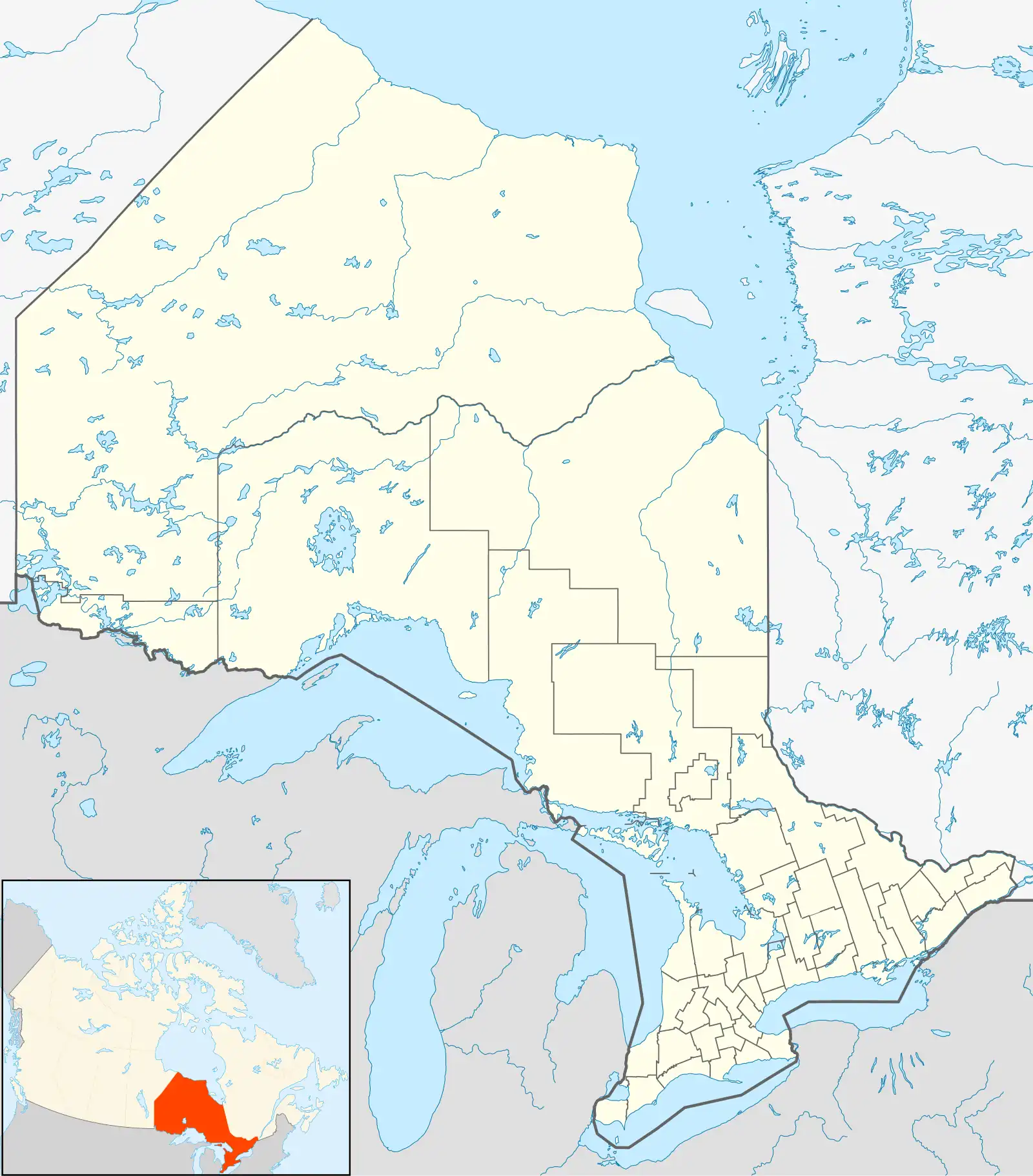
Ghost River is a locality and unincorporated place on the Albany River at the mouth of the Cheepay River in the Unorganized North Part of Cochrane District in northeastern Ontario, Canada.[1] It is on the border with Kenora District.[3]
References
- ^ a b "Ghost River". Geographical Names Data Base. Natural Resources Canada. Retrieved 2018-07-11.
- ^ Elevation taken from Google Maps at coordinates. Accessed 2018-07-11.
- ^ Map 17 (PDF) (Map). 1 : 1,600,000. Official road map of Ontario. Ministry of Transportation of Ontario. 2010-01-01. Retrieved 2011-07-21.
| City | 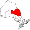 | |
|---|---|---|
| Towns | ||
| Townships | ||
| First Nations | ||
| Indian reserves | ||
| Indian settlements | ||
| Unorganized territories | ||
| Local services boards | ||
| Unincorporated communities | ||
| ||