Lühmannsdorf
Lühmannsdorf | |
|---|---|
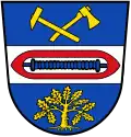 Coat of arms | |
Location of Lühmannsdorf | |
 Lühmannsdorf 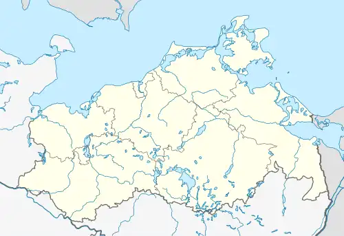 Lühmannsdorf | |
| Coordinates: 54°0′N 13°38′E / 54.000°N 13.633°E | |
| Country | Germany |
| State | Mecklenburg-Vorpommern |
| District | Vorpommern-Greifswald |
| Municipality | Karlsburg |
| Subdivisions | 4 |
| Area | |
• Total | 5.65 km2 (2.18 sq mi) |
| Elevation | 39 m (128 ft) |
| Population (2017-12-31) | |
• Total | 679 |
| • Density | 120/km2 (310/sq mi) |
| Time zone | UTC+01:00 (CET) |
| • Summer (DST) | UTC+02:00 (CEST) |
| Postal codes | 17495 |
| Dialling codes | 038355 |
| Vehicle registration | VG |
| Website | www.amt-zuessow.de |
Lühmannsdorf is a village and a former municipality in the Vorpommern-Greifswald district, in Mecklenburg-Vorpommern, Germany. Since May 2019, it is part of the municipality Karlsburg. The municipality Lühmannsdorf consisted of the villages:
- Brüssow
- Giesekenhagen
- Jagdkrug
- Lühmannsdorf
References