Gimlet, Kentucky
Gimlet, Kentucky | |
|---|---|
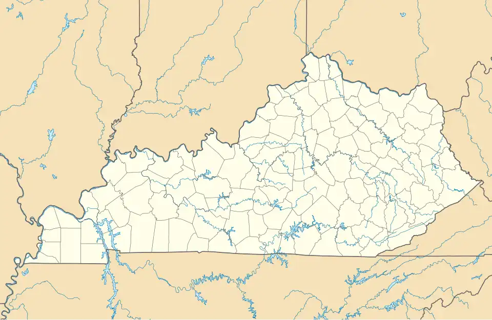 Gimlet Location within the state of Kentucky  Gimlet Gimlet (the United States) | |
| Coordinates: 38°13′8″N 83°8′15″W / 38.21889°N 83.13750°W | |
| Country | United States |
| State | Kentucky |
| County | Elliott |
| Elevation | 1,102 ft (336 m) |
| Time zone | UTC-5 (Eastern (EST)) |
| • Summer (DST) | UTC-4 (EDT) |
| GNIS feature ID | 508090 |
Gimlet is an unincorporated community in Elliott County, Kentucky, United States. It lies along Route 504 north of the city of Sandy Hook, the county seat of Elliott County.[1] Its elevation is 1,102 feet (336 m).[2]
A post office, established in 1880, closed in 1961. Gimlet is named for the gimlet tool, which is said to have the same crooked shape as the local creek.[3]
References
- ^ Rand McNally. The Road Atlas '06. Chicago: Rand McNally, 2006, p. 43.
- ^ U.S. Geological Survey Geographic Names Information System: Gimlet, Kentucky, Geographic Names Information System, 1979-09-20. Accessed 2008-01-03.
- ^ Rennick, Robert M. (1987). Kentucky Place Names. University Press of Kentucky. p. 116. Retrieved April 28, 2013.
Municipalities and communities of Elliott County, Kentucky, United States | ||
|---|---|---|
| City |  | |
| Unincorporated communities | ||