Girraween, Northern Territory
| Girraween Darwin, Northern Territory | |||||||||||||||
|---|---|---|---|---|---|---|---|---|---|---|---|---|---|---|---|
 Girraween | |||||||||||||||
| Coordinates | 12°31′27″S 131°05′33″E / 12.524085°S 131.092505°E | ||||||||||||||
| Population | 1,641 (2016 census)[1] | ||||||||||||||
| Postcode(s) | 0836 | ||||||||||||||
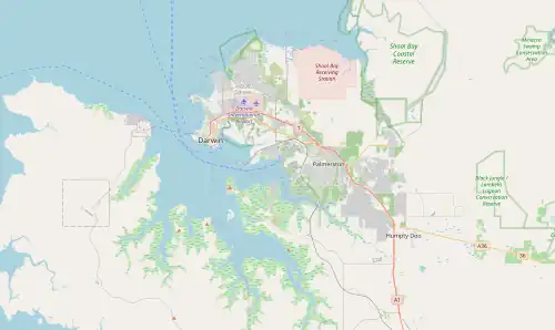
| Location |
| ||||||||||||||
| LGA(s) | Litchfield Municipality | ||||||||||||||
| Territory electorate(s) | Nelson | ||||||||||||||
| Federal division(s) | Lingiari | ||||||||||||||
| |||||||||||||||
| Footnotes | Adjoining suburbs[2][3] | ||||||||||||||
Girraween is an outer semi-rural area in Darwin. It is 35 km southeast of the Darwin CBD. Its local government area is the Litchfield Municipality.
References
- ^ Australian Bureau of Statistics (27 June 2017). "Girraween (State Suburb)". 2016 Census QuickStats. Retrieved 28 June 2017.
- ^ "Girraween". NT Atlas and Spatial Data Directory. Northern Territory Government. Retrieved 4 May 2019.
- ^ "Litchfield Municipality Localities" (PDF). Place Names Committee. Northern Territory Government. Archived from the original (PDF) on 18 March 2019. Retrieved 4 May 2019.
External links