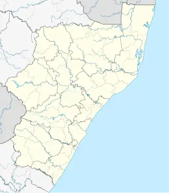
Glencoe, KwaZulu-Natal
Glencoe | |
|---|---|
 Glencoe  Glencoe | |
| Coordinates: 28°11′00″S 30°09′00″E / 28.18333°S 30.15000°E | |
| Country | South Africa |
| Province | KwaZulu-Natal |
| District | Umzinyathi |
| Municipality | Endumeni |
| Area | |
• Total | 26.58 km2 (10.26 sq mi) |
| Population (2011)[1] | |
• Total | 17,548 |
| • Density | 660/km2 (1,700/sq mi) |
| Racial makeup (2011) | |
| • Black African | 83.0% |
| • Coloured | 1.0% |
| • Indian/Asian | 6.9% |
| • White | 8.9% |
| • Other | 0.2% |
| First languages (2011) | |
| • Zulu | 76.6% |
| • English | 11.9% |
| • Afrikaans | 8.5% |
| • Other | 3.0% |
| Time zone | UTC+2 (SAST) |
| Postal code (street) | 2930 |
| PO box | 2930 |
| Area code | 034 |
Glencoe is situated in the Umzinyathi District, District of KwaZulu-Natal, South Africa.
The main economic activity in the area is coal mining along with sheep and cattle ranching.
History
With coal discovered 8 km away from Dundee, an efficient way was needed to transport coal to factories other than by ox wagon. The railway from Durban to Johannesburg reached this point on 4 September 1889. A new village sprung up where a branch line was built from the Durban-Johannesburg line to the eastern Transvaal in 1903. The village was renamed Glencoe, after a mountain valley in Lochaber, Scotland, it became a town in 1934.
Trivia
- General French was periodically stationed here during the Second Boer War.
- Boer President Paul Kruger twice stayed overnight during the Siege of Ladysmith, South Africa.
- The house of Carl Landman - second in command at the Battle of Blood River can be found on a farm close to Glencoe.
- Fort Mistake, a fort designed as a communications link between Ladysmith and Newcastle in 1881 and playing a key role in the Anglo-Boer War is nearby.
References
- ^ a b c d "Main Place Glencoe". Census 2011.
.svg.png)