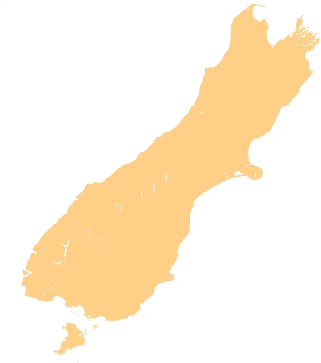
Glenroy River
| Glenroy River | |
|---|---|
Route of the Glenroy River | |
 Mouth of the Glenroy River .png) Glenroy River (New Zealand) | |
| Location | |
| Country | New Zealand |
| District | Tasman |
| Physical characteristics | |
| Source | Glenroy River (main branch) |
| • location | Spenser Mountains |
| • coordinates | 42°18′01″S 172°26′00″E / 42.3002°S 172.4333°E |
| 2nd source | Glenroy River East Branch |
| • coordinates | 42°05′12″S 172°24′21″E / 42.0867°S 172.4059°E |
| Mouth | Mātakitaki River |
• coordinates | 42°00′04″S 172°20′05″E / 42.001°S 172.3347°E |
| Basin features | |
| Progression | Glenroy River → Mātakitaki River → Buller River → Tasman Sea |
| River system | Buller River |
| Tributaries | |
| • left | Mount Cann Creek, Granity Creek |
| • right | Branch Creek, Pedro Creek, Shale Creek, Cascade Creek, Davis Creek |
The Glenroy River is a tributary of the Mātakitaki River in the north of the South Island of New Zealand. It is widely known as a short class 4 river (River difficulty classification system for rafting).