Golovnin
| Golovnin | |
|---|---|
_ISS_cut.jpg) | |
| Highest point | |
| Elevation | 535 m (1,755 ft) |
| Coordinates | 43°50′28″N 145°30′32″E / 43.841°N 145.509°E |
| Geography | |
 Golovnin Golovnin in Russian Far East | |
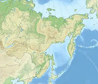
| Location | Kunashir, Kuril Islands, Russia/Japan |
| Geology | |
| Mountain type | Lava domes / Caldera |
| Last eruption | 1848 |
Golovnin (Japanese: 泊山, Tomari-yama; Russian: вулкан Головнина) is a caldera located in the southern part of Kunashir Island, Kuril Islands, Russia/Japan. It is the southernmost volcano of the Kuril Islands.
The Russian name is given after the Russian explorer Vasily Golovnin.
_Relief_Map%252C_SRTM-1.jpg)
An eruption was confirmed in 1848.[1] It is not ranked as an active volcano by the Japan Meteorological Agency.Tomariyama Volcanic activity since recorded history
See also
References
- ^ "Global Volcanism Program | Tomariyama [Golovnin]". Smithsonian Institution | Global Volcanism Program.