Gotor
Gotor | |
|---|---|
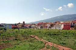 View of Gotor with the Sierra de la Virgen in the background | |
 Flag  Coat of arms | |
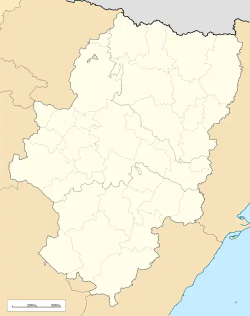 Gotor Location of Gotor within Aragon 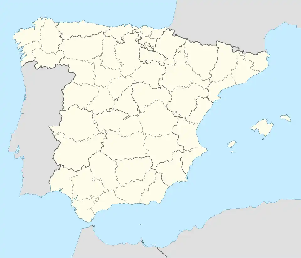 Gotor Location of Gotor within Spain 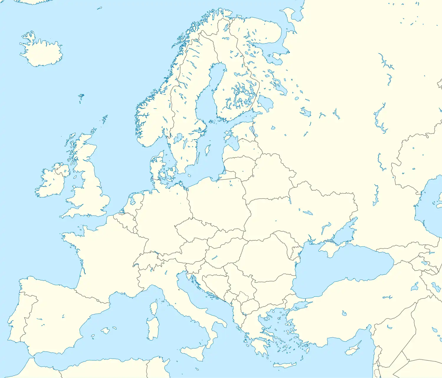 Gotor Gotor (Europe) | |
| Coordinates: 41°33′N 1°39′W / 41.550°N 1.650°W | |
| Country | |
| Autonomous community | |
| Province | Zaragoza |
| Comarca | Aranda |
| Area | |
• Total | 15 km2 (6 sq mi) |
| Population (2018)[1] | |
• Total | 306 |
| • Density | 20/km2 (53/sq mi) |
| (INE) | |
| Demonym(s) | Gotorino, Gotorina |
| Time zone | UTC+1 (CET) |
| • Summer (DST) | UTC+2 (CEST) |
Gotor is a municipality located in the Aranda Comarca province of Zaragoza, Aragon, Spain. According to the 2004 census (INE), the municipality has a population of 389 inhabitants.
See also
References
- ^ Municipal Register of Spain 2018. National Statistics Institute.
External links
Wikimedia Commons has media related to Gotor.