Gravel Hills
| Gravel Hills | |
|---|---|
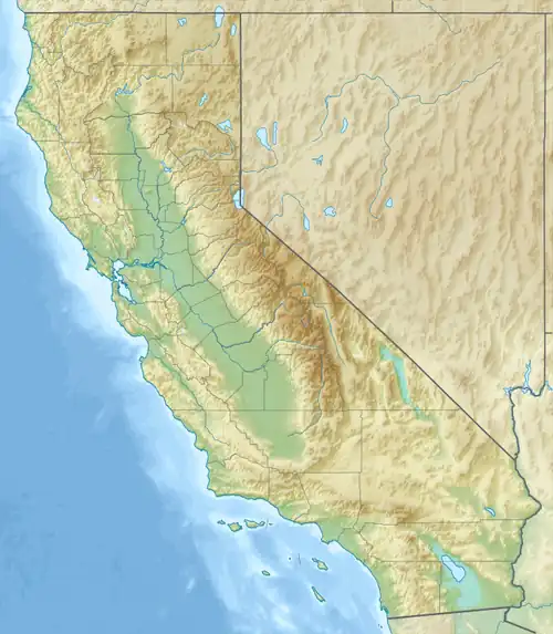 Gravel Hills Location of the Gravel Hills in California[1]  Gravel Hills Gravel Hills (the United States) | |
| Highest point | |
| Elevation | 1,176 m (3,858 ft) |
| Dimensions | |
| Length | 11 mi (18 km) east-west |
| Geography | |
| Country | United States |
| State | California |
| Region | Mojave Desert |
| District | San Bernardino County |
| Range coordinates | 35°12′37″N 117°22′15″W / 35.21028°N 117.37083°W |
| Topo map(s) | USGS Bird Spring and Fremont Peak |
The Gravel Hills are a low mountain range in the central Mojave Desert, in northwestern San Bernardino County, California.[1]
They are located northwest of Barstow, northeast of Freemont Peak, southwest of Slocum Mountain, and northwest of Black Mountain.
References
- ^ a b "Gravel Hills". Geographic Names Information System. United States Geological Survey, United States Department of the Interior. Retrieved 2024-09-25.